't Veld | |
|---|---|
Village | |
 Tulips in 't Veld | |
 't Veld Location in the Netherlands 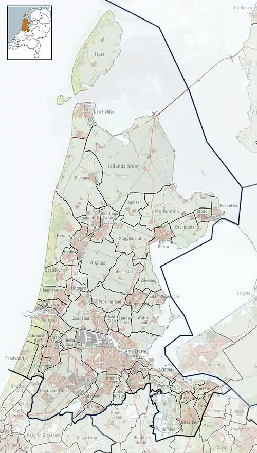 't Veld Location in the province of North Holland in the Netherlands | |
| Coordinates: 52°44′N 4°51′E / 52.733°N 4.850°E | |
| Country | Netherlands |
| Province | North Holland |
| Municipality | Hollands Kroon |
| Area | |
| • Total | 8.40 km2 (3.24 sq mi) |
| Elevation | −0.8 m (−2.6 ft) |
| Population (2021)[1] | |
| • Total | 2,155 |
| • Density | 260/km2 (660/sq mi) |
| Time zone | UTC+1 (CET) |
| • Summer (DST) | UTC+2 (CEST) |
| Postal code | 1735[1] |
| Dialing code | 0226 |
't Veld is a village in the Dutch province of North Holland. It is a part of the municipality of Hollands Kroon, and lies about 8 km north of Heerhugowaard.
The village was first mentioned between 1839 and 1859 as "'t Veld", and means "field".[3]
References
- 1 2 3 "Kerncijfers wijken en buurten 2021". Central Bureau of Statistics. Retrieved 30 April 2022.
- ↑ "Postcodetool for 1735EC". Actueel Hoogtebestand Nederland (in Dutch). Het Waterschapshuis. Retrieved 30 April 2022.
- ↑ "'t Veld - (geografische naam)". Etymolgiebank (in Dutch). Retrieved 30 April 2022.
This article is issued from Wikipedia. The text is licensed under Creative Commons - Attribution - Sharealike. Additional terms may apply for the media files.