Al-Hamraa Subdistrict
ناحية الحمراء | |
|---|---|
Subdistrict (nahiyah) | |
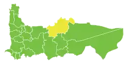 Location in Hama Governorate | |
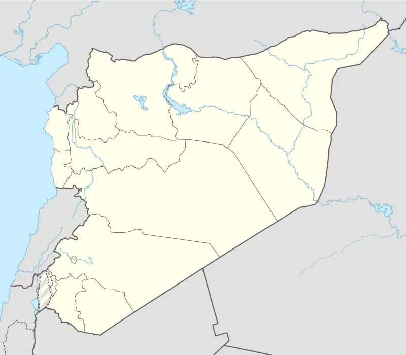 Al-Hamraa Subdistrict Location in Syria | |
| Coordinates: 35°25′00″N 37°14′56″E / 35.4167°N 37.2489°E | |
| Country | |
| Governorate | Hama |
| District | Hama District |
| Capital | Al-Hamraa |
| Population (2004) | |
| • Total | 32,604 |
| Time zone | UTC+2 (EET) |
| • Summer (DST) | UTC+3 (EEST) |
| Nahya pcod | SY050103 |
Al-Hamraa Subdistrict (Arabic: ناحية الحمراء) is a Syrian nahiyah (subdistrict) located in Hama District in Hama. According to the Syria Central Bureau of Statistics (CBS), Al-Hamraa Subdistrict had a population of 32,604 in the 2004 census.[1]
References
- ↑ "General Census of Population 2004". Archived from the original on 2013-09-26. Retrieved 2014-07-08.
This article is issued from Wikipedia. The text is licensed under Creative Commons - Attribution - Sharealike. Additional terms may apply for the media files.