Aleksandrovo
| |
|---|---|
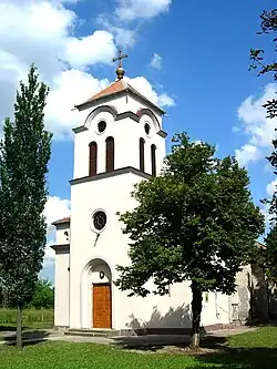 The Orthodox Church | |
 Coat of arms | |
 Aleksandrovo Location of Aleksandrovo within Serbia 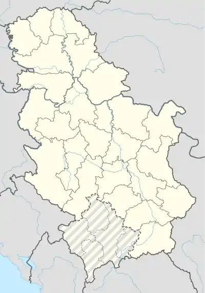 Aleksandrovo Aleksandrovo (Serbia)  Aleksandrovo Aleksandrovo (Europe) | |
| Coordinates: 45°38′08″N 20°35′20″E / 45.63556°N 20.58889°E | |
| Country | Serbia |
| Province | Vojvodina |
| District | Central Banat |
| Elevation | 65 m (213 ft) |
| Population (2002) | |
| • Aleksandrovo | 2,665 |
| Time zone | UTC+1 (CET) |
| • Summer (DST) | UTC+2 (CEST) |
| Postal code | 23217 |
| Area code | +381(0)23 |
| Car plates | ZR |
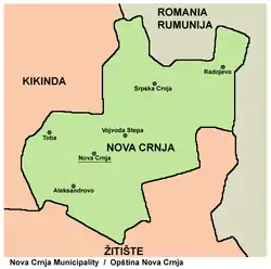
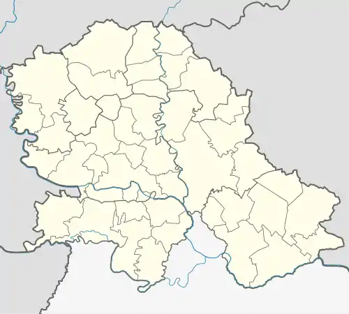
Map of the Nova Crnja municipality, showing the location of Aleksandrovo
Aleksandrovo (Serbian Cyrillic: Александрово), formerly known as Velike Livade (Serbian: Велике Ливаде), is a village in Serbia. It is situated in the Nova Crnja municipality, Central Banat District, Vojvodina province. The population of the village numbering 2,665 people (2002 census), of whom 2,435 (91.36%) are ethnic Serbs.
Name
In Serbian, the village is known as Aleksandrovo or Александрово, in Hungarian as Bozítópuszta, and in Romanian as Livada Mare.
Historical population
- 1961: 4,034
- 1971: 3,406
- 1981: 3,061
- 1991: 2,902
See also
References
- Slobodan Ćurčić, Broj stanovnika Vojvodine, Novi Sad, 1996.
Wikimedia Commons has media related to Aleksandrovo (Nova Crnja).
This article is issued from Wikipedia. The text is licensed under Creative Commons - Attribution - Sharealike. Additional terms may apply for the media files.