Anse-à-Pitres
| |
|---|---|
_Markets.jpg.webp) | |
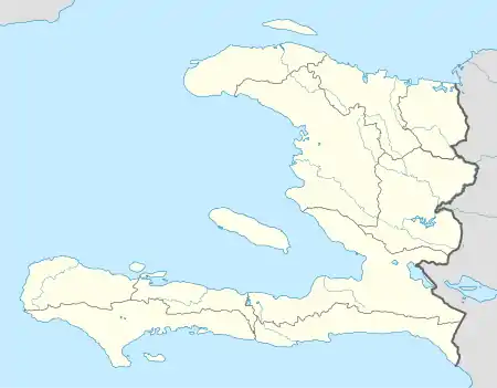 Anse-à-Pitres Location in Haiti | |
| Coordinates: 18°3′0″N 71°45′0″W / 18.05000°N 71.75000°W | |
| Country | Haiti |
| Department | Sud-Est |
| Arrondissement | Belle-Anse |
| Area | |
| • Total | 479.6 km2 (185.19 sq mi) |
| Elevation | 20 m (70 ft) |
| Population (March, 2015)[1] | |
| • Total | 30,146 |
| • Density | 163/km2 (420/sq mi) |
Anse-à-Pitres (Haitian Creole: Ansapit), or Anse-à-Pitre[2] is a commune in the Belle-Anse Arrondissement, in the Sud-Est department of Haiti. Its border crossing to Pedernales is one of the four chief land crossings to the Dominican Republic.
References
- ↑ "Mars 2015 Population Totale, Population de 18 ans et Plus Menages et Densites Estimes en 2015" (PDF). Institut Haïtien de Statistique et d’Informatique (IHSI). Archived from the original (PDF) on 6 November 2015. Retrieved 3 June 2017.
- ↑ "National Geospatial-Intelligence Agency". GeoNames Search. Retrieved 3 June 2017.
This article is issued from Wikipedia. The text is licensed under Creative Commons - Attribution - Sharealike. Additional terms may apply for the media files.