| Aßberg | |
|---|---|
| Highest point | |
| Elevation | 703 m (2,306 ft) |
| Coordinates | 50°33′53″N 11°12′50″E / 50.56472°N 11.21389°E |
| Geography | |
| Location | Thuringia, Germany |
| Parent range | Thuringian Forest |
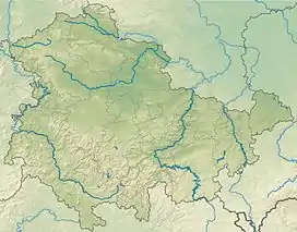
The Aßberg is a 703-m high mountain located in the Thuringian Highland region of Thuringia, Germany.
It is located close to the municipalities of Deesbach, Meura, Reichmannsdorf, and Schmiedefeld and the Leibis-Lichte Dam in the Saalfeld-Rudolstadt district in the Thuringian Forest Nature Park.
| Description | Height above sea level |
Direction | Particularity |
| Rehhecke | 707.0 m | N NW | Coniferous forest |
| Rauhhügel | 801.9 m | S | Observation tower, radio mast |
| Mutzenberg | 770.0 m | SW | |
| Spitzer Berg | 790.3 m | W SW | Coniferous forest |
See also
This article is issued from Wikipedia. The text is licensed under Creative Commons - Attribution - Sharealike. Additional terms may apply for the media files.