| Barmsee | |
|---|---|
 | |
 Barmsee | |
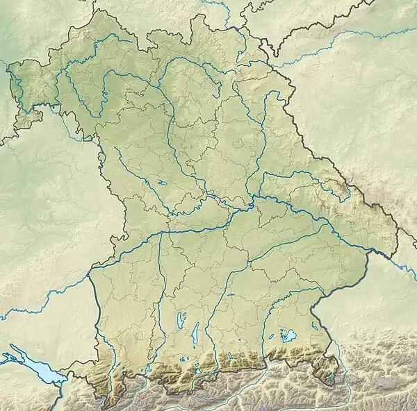
| Location | Oberbayern, Bavaria |
| Coordinates | 47°30′0″N 11°14′50″E / 47.50000°N 11.24722°E |
| Lake type | Meromictic |
| Primary inflows | Gruberseebach, Seebach |
| Primary outflows | Barmseebach |
| Catchment area | 3.0 km2 (1.2 sq mi) |
| Basin countries | Germany |
| Max. length | 0.49 km (0.30 mi) |
| Max. width | 1.12 km (0.70 mi) |
| Surface area | 0.55 km2 (0.21 sq mi) |
| Average depth | 16.49 m (54.1 ft) |
| Max. depth | 30.6 m (100 ft) |
| Water volume | 9,070,000 km3 (2,180,000 cu mi) |
| Residence time | unknown |
| Shore length1 | 3.3 km (2.1 mi) |
| Surface elevation | 885.03 m (2,903.6 ft) |
| Islands | none |
| Settlements | Wallgau, Klais |
| References | https://web.archive.org/web/20110718202013/http://www.wwa-wm.bayern.de/service/infomaterial/doc/barmsee.pdf |
| 1 Shore length is not a well-defined measure. | |
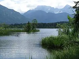
Barmsee is a lake in Oberbayern, Bavaria, Germany. At an elevation of 885.03 m, its surface area is 55 hectares.
This article is issued from Wikipedia. The text is licensed under Creative Commons - Attribution - Sharealike. Additional terms may apply for the media files.