| Bec d'Epicoune | |
|---|---|
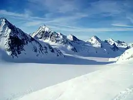 Bec d'Epicoune (far right) from the Otemma Glacier | |
| Highest point | |
| Elevation | 3,531 m (11,585 ft) |
| Prominence | 298 m (978 ft)[1] |
| Parent peak | Aouille Tseuque |
| Listing | Alpine mountains above 3000 m |
| Coordinates | 45°54′52.6″N 7°25′20.8″E / 45.914611°N 7.422444°E |
| Geography | |
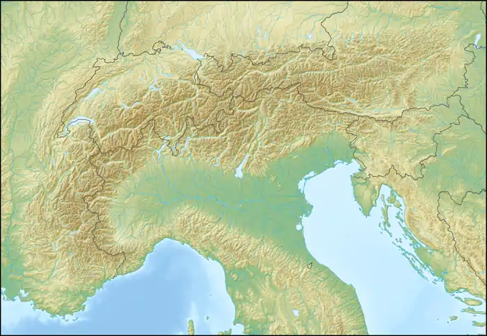 Bec d'Epicoune Location in the Alps | |
| Location | Valais, Switzerland/Aosta Valley, Italy |
| Parent range | Pennine Alps |
| Climbing | |
| First ascent | 21 July 1866 by Johann Jakob Weilenmann and Joseph Gillioz |
Bec d'Epicoune or Becca Rayette is a mountain of the Pennine Alps, located on the Swiss-Italian border. On its northern side it overlooks the Otemma Glacier. On the Swisstopo map, Becca Rayette is the name of a 3,432 m sub-peak on the SW spur neighboring the 3,320 m Col de la Rayette, rather than an alternative name for the main summit. Likewise, Becca Picion is a 3,389 sub-summit on the ENE ridge towards the 3,233 m Col d'Epicoune.
References
External links
This article is issued from Wikipedia. The text is licensed under Creative Commons - Attribution - Sharealike. Additional terms may apply for the media files.