Carievale | |
|---|---|
| Village of Carievale | |
 Carievale, Saskatchewan | |
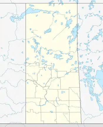 Location of Carievale in Saskatchewan 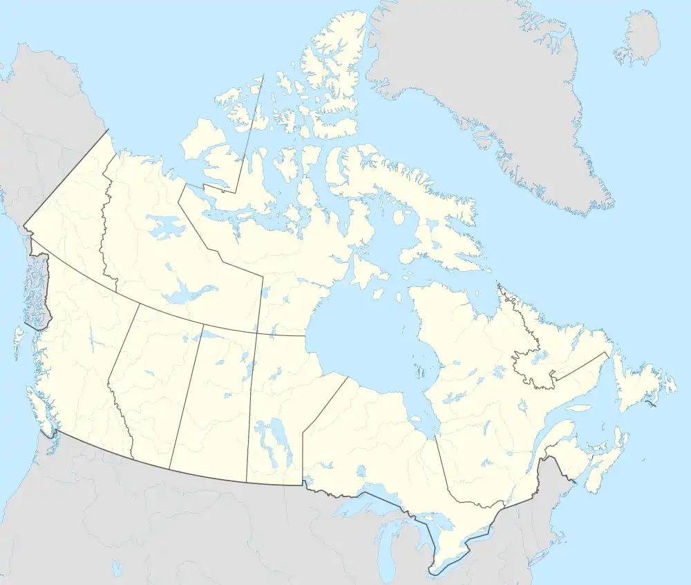 Carievale (Canada) | |
| Coordinates: 49°10′24″N 101°37′32″W / 49.173333°N 101.625556°W | |
| Country | |
| Province | |
| Region | Southeast |
| Census division | 1 |
| Rural Municipality | Argyle No. 1 |
| Post office Founded | February 1, 1891 |
| Incorporated (Village) | May 6, 1907 |
| Government | |
| • Type | Municipal |
| • Governing body | Carievale Village Council |
| • Mayor | Gary “Gig” Annetts |
| Area | |
| • Land | 1.51 km2 (0.58 sq mi) |
| Population (2021)[1] | |
| • Total | 244 |
| Time zone | UTC-6 (CST) |
| Postal code | S0C 0P0 |
| Area code | 306 |
| Highways | |
Carievale (2021 population: 244) is a village in the Canadian province of Saskatchewan within the Rural Municipality of Argyle No. 1 and Census Division No. 1. The village lies at the intersection of Highway 8 and Highway 18.
History
The community's post office was established on February 1, 1891.[2] Carievale incorporated as a village on March 14, 1903.[3]
Demographics
In the 2021 Census of Population conducted by Statistics Canada, Carievale had a population of 244 living in 103 of its 113 total private dwellings, a change of 1.7% from its 2016 population of 240. With a land area of 1.51 km2 (0.58 sq mi), it had a population density of 161.6/km2 (418.5/sq mi) in 2021.[6][1]
In the 2016 Census of Population, the Village of Carievale recorded a population of 240 living in 105 of its 110 total private dwellings, a 1.7% change from its 2011 population of 236. With a land area of 0.88 km2 (0.34 sq mi), it had a population density of 272.7/km2 (706.4/sq mi) in 2016.[7]
See also
References
- 1 2 3 4 "Population and dwelling count amendments, 2021 Census". Statistics Canada. August 17, 2022. Retrieved September 2, 2022.
- ↑ "Post Offices and Postmasters database". Library and Archives Canada. Retrieved January 3, 2021.
- ↑ "Urban Municipality Incorporations". Saskatchewan Ministry of Government Relations. Archived from the original on October 15, 2014. Retrieved June 1, 2020.
- ↑ "Saskatchewan Census Population" (PDF). Saskatchewan Bureau of Statistics. Archived from the original (PDF) on September 24, 2015. Retrieved May 31, 2020.
- ↑ "Saskatchewan Census Population". Saskatchewan Bureau of Statistics. Retrieved May 31, 2020.
- ↑ "Population and dwelling counts: Canada, provinces and territories, census divisions and census subdivisions (municipalities), Saskatchewan". Statistics Canada. February 9, 2022. Retrieved April 1, 2022.
- ↑ "Population and dwelling counts, for Canada, provinces and territories, and census subdivisions (municipalities), 2016 and 2011 censuses – 100% data (Saskatchewan)". Statistics Canada. February 8, 2017. Retrieved May 30, 2020.
External links
 Media related to Carievale at Wikimedia Commons
Places adjacent to Carievale | ||||||||||||||||
|---|---|---|---|---|---|---|---|---|---|---|---|---|---|---|---|---|
| ||||||||||||||||
| Cities | 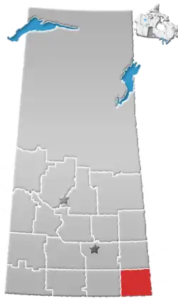 | ||||
|---|---|---|---|---|---|
| Towns | |||||
| Villages | |||||
| Rural municipalities | |||||
| First Nations | |||||
| Indian reserves | |||||
| Unincorporated communities |
| ||||
49°10′24″N 101°37′32″W / 49.17333°N 101.62556°W