Chapleau Water Airport | |||||||||||
|---|---|---|---|---|---|---|---|---|---|---|---|
| Summary | |||||||||||
| Airport type | |||||||||||
| Operator | |||||||||||
| Location | Chapleau, Ontario | ||||||||||
| Time zone | EST (UTC−05:00) | ||||||||||
| • Summer (DST) | EDT (UTC−04:00) | ||||||||||
| Elevation AMSL | 1,443 ft / 440 m | ||||||||||
| Coordinates | 47°51′N 083°24′W / 47.850°N 83.400°W | ||||||||||
| Map | |||||||||||
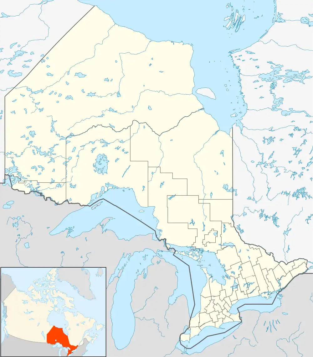 CNL5 Location in Ontario | |||||||||||
| Runways | |||||||||||
| |||||||||||
Source: Water Aerodrome Supplement[1] | |||||||||||
Chapleau Water Airport (TC LID: CNL5) was located on the Chapleau River, Ontario, Canada. It was classified as an airport by Nav Canada and was subject to regular inspections by Transport Canada.[1]
See also
References
- 1 2 Nav Canada's Water Aerodrome Supplement. Effective 0901Z 26 March 2020 to 0901Z 22 April 2021.
| By name | |
|---|---|
| By location indicator | |
| By province/territory | |
| By area | |
| National Airports System | |
| Related | |
| |
This article is issued from Wikipedia. The text is licensed under Creative Commons - Attribution - Sharealike. Additional terms may apply for the media files.