| Culiacán River Rio Culiacán | |
|---|---|
 'Culiacan River | |
 Location of mouth | |
| Location | |
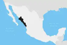
| Country | Mexico |
| State | Sinaloa |
| Physical characteristics | |
| Source | |
| • location | Culiacán |
| Mouth | |
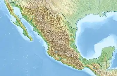
• location | Gulf of California, Pacific Ocean |
• coordinates | 24°29′32″N 107°43′55″W / 24.49222°N 107.73194°W |
• elevation | Sea level |
The Culiacán River is a river that is formed at the confluence of the Tamazula River and Humaya River, located in Culiacán city of Sinaloa state, in northwestern Mexico.[1]
The river flows from the Sierra Madre Occidental headwaters confluence generally westwards and down into the Gulf of California of the Pacific Ocean.
See also
- Mexican golden trout — endemic to the headwaters area of this and several other rivers in the Sierra Madre Occidental.
- List of longest rivers of Mexico
References
- ↑ "Rio Culiacán". GeoNames. Retrieved July 26, 2021.
This article is issued from Wikipedia. The text is licensed under Creative Commons - Attribution - Sharealike. Additional terms may apply for the media files.