Dépas | |
|---|---|
Village | |
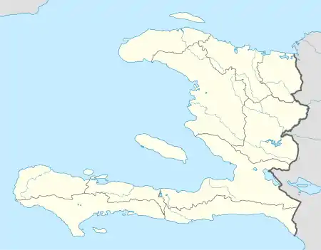 Dépas Location in Haiti | |
| Coordinates: 18°13′07″N 74°03′15″W / 18.2186291°N 74.054085°W | |
| Country | Haiti |
| Department | Sud |
| Arrondissement | Côteaux |
| Elevation | 13 m (43 ft) |
Dépas is a village in the Côteaux commune of the Côteaux Arrondissement, in the Sud department of Haiti.[1][2]
See also
References
- ↑ Google (27 August 2014). "Location" (Map). Google Maps. Google. Retrieved 27 August 2014.
- ↑ "National Geospatial-Intelligence Agency". GeoNames Search. Retrieved 29 August 2014.
This article is issued from Wikipedia. The text is licensed under Creative Commons - Attribution - Sharealike. Additional terms may apply for the media files.