Deir Ammar Camp | |
|---|---|
| Arabic transcription(s) | |
| • Arabic | مخيّم دير عمّار |
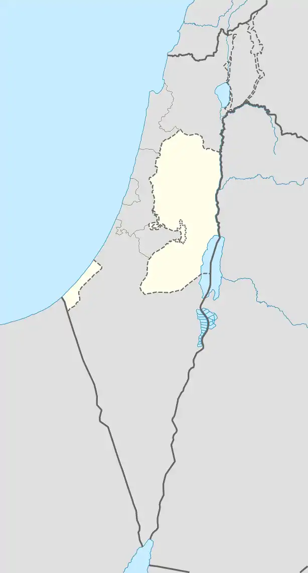 Deir Ammar Camp Location of Deir Ammar Camp within Palestine | |
| Coordinates: 31°57′57.22″N 35°05′55.98″E / 31.9658944°N 35.0988833°E | |
| State | State of Palestine |
| Governorate | Ramallah and al-Bireh |
| Government | |
| • Type | Refugee Camp |
| Area | |
| • Total | 145 dunams (14.5 ha or 36 acres) |
| Population (2017)[1] | |
| • Total | 1,884 |
| • Density | 13,000/km2 (34,000/sq mi) |
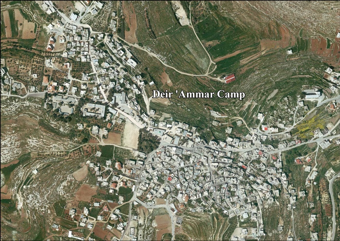
Deir Ammar Camp (Arabic: مخيّم دير عمّار) is a Palestinian refugee camp in the Ramallah and al-Bireh Governorate, located 30 kilometers (19 mi) northwest of Ramallah in the northern West Bank. According to the Palestinian Central Bureau of Statistics (PCBS), the camp had a population of 1,884 inhabitants in 2017.[1]
The Deir Ammar camp was established in 1949 on a plot of land belonging to non-refugee residents of the village of Deir Ammar. In return, UNRWA's installations in the camp also provide services to non-refugee villagers. The camp falls under joint Israeli/Palestinian control in "Area B".[2] The refugee camp has 2 schools, the boys school has 680 pupils and the girls school has 735 pupils.[2]
Footnotes
- 1 2 Preliminary Results of the Population, Housing and Establishments Census, 2017 (PDF). Palestinian Central Bureau of Statistics (PCBS) (Report). State of Palestine. February 2018. pp. 64–82. Retrieved 2023-10-24.
- 1 2 The Camp administered by the United Nations subsidiary organ, UNRWA
External links
- Deir 'Ammar, articles from UNWRA
- Welcome To Dayr 'Ammar R.C.
- Deir 'Ammar Camp (Fact Sheet), Applied Research Institute–Jerusalem, ARIJ
- Deir 'Ammar Camp Profile, ARIJ
- Deir 'Ammar Camp aerial photo, ARIJ

Palestine refugee camps locations and populations as of 2015[1] | |||||||||||||||||||||||||||||||||||||||||||||||||||||||||||||||||||||||||||||||||||||||||||||||||||||||||||||||||||||||||||||||||
|---|---|---|---|---|---|---|---|---|---|---|---|---|---|---|---|---|---|---|---|---|---|---|---|---|---|---|---|---|---|---|---|---|---|---|---|---|---|---|---|---|---|---|---|---|---|---|---|---|---|---|---|---|---|---|---|---|---|---|---|---|---|---|---|---|---|---|---|---|---|---|---|---|---|---|---|---|---|---|---|---|---|---|---|---|---|---|---|---|---|---|---|---|---|---|---|---|---|---|---|---|---|---|---|---|---|---|---|---|---|---|---|---|---|---|---|---|---|---|---|---|---|---|---|---|---|---|---|---|---|
| |||||||||||||||||||||||||||||||||||||||||||||||||||||||||||||||||||||||||||||||||||||||||||||||||||||||||||||||||||||||||||||||||
References
| |||||||||||||||||||||||||||||||||||||||||||||||||||||||||||||||||||||||||||||||||||||||||||||||||||||||||||||||||||||||||||||||||
This article is issued from Wikipedia. The text is licensed under Creative Commons - Attribution - Sharealike. Additional terms may apply for the media files.