| Innere Schwarze Schneid | |
|---|---|
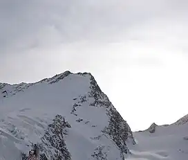 Innere Schwarze Schneid from the North from the Rettenbachferner. | |
| Highest point | |
| Elevation | 3,367 m (11,047 ft) |
| Prominence | 293 m (961 ft) |
| Parent peak | Wildspitze |
| Isolation | 3.7 km (2.3 mi) |
| Listing | Alpine mountains above 3000 m |
| Coordinates | 46°55′26″N 10°55′16″E / 46.92389°N 10.92111°E |
| Geography | |
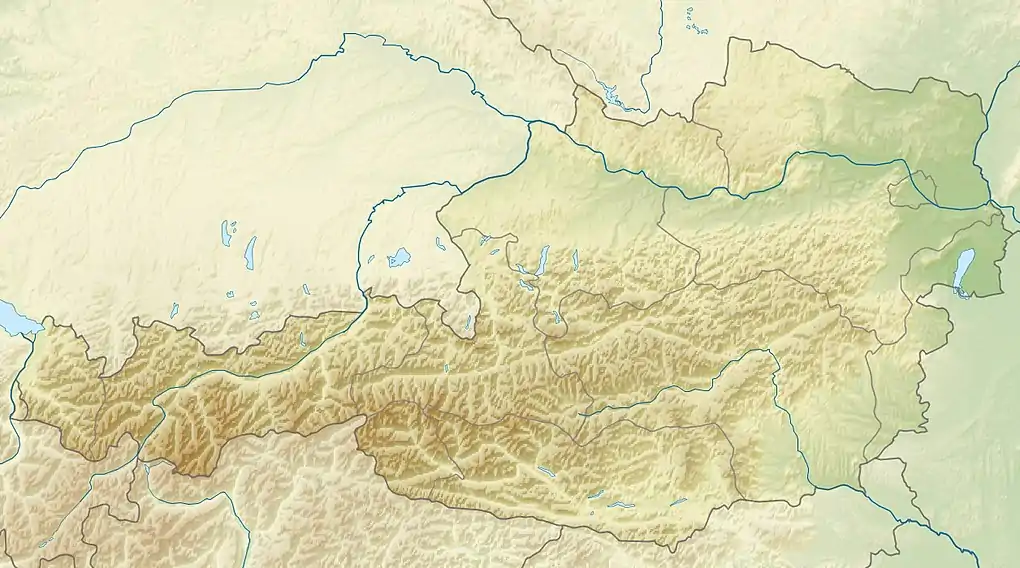 Innere Schwarze Schneid Austria | |
| Location | Tyrol, Austria |
| Parent range | Ötztal Alps |
| Climbing | |
| First ascent | 23 July 1874 by Theodor Petersen, Moriz von Déchy and Victor Hecht, guided by Alois Ennemoser, Johann Pinggera and Josef Spechtenhauser |
| Easiest route | South ridge from Braunschweiger Hütte (UIAA-I) |
The Innere Schwarze Schneid is a mountain in the Weisskamm group of the Ötztal Alps.
This article is issued from Wikipedia. The text is licensed under Creative Commons - Attribution - Sharealike. Additional terms may apply for the media files.