Dharur
Kille Dharur | |
|---|---|
city | |
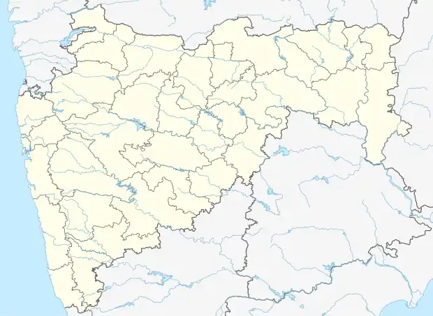 Dharur Location in Maharashtra, India | |
| Coordinates: 18°49′N 76°07′E / 18.82°N 76.12°E | |
| Country | |
| State | Maharashtra |
| District | Beed |
| Elevation | 739 m (2,425 ft) |
| Population (2001) | |
| • Total | 18,350 |
| Demonym | Dharurkar |
| Languages | |
| • Official | Marathi |
| Time zone | UTC+5:30 (IST) |
| PIN | 431124[1] |
Dharur is a city and a municipal council in Beed district in the state of Maharashtra, India.
Geography
Kille Dharur (Dharur) is located at 18°49′N 76°07′E / 18.82°N 76.12°E.[2] It has an average elevation of 739 metres (2424 feet).
Demographics
As of 2001 India census,[3] Dharur had a population of 18,350. Males constitute 52% of the population and females 48%. Kille Dharur has an average literacy rate of 65%, higher than the national average of 59.5%: male literacy is 74% and, female literacy is 55%. In Dharur, 15% of the population is under 6 years of age.
See also
References
- ↑ "PinCode: DHARUR, BEED, MAHARASHTRA, India, omsaisoft.com". omsaisoft.com. 2015.
PinCode: 431124
- ↑ Falling Rain Genomics, Inc - Dharur
- ↑ "Census of India 2001: Data from the 2001 Census, including cities, villages and towns (Provisional)". Census Commission of India. Archived from the original on 16 June 2004. Retrieved 1 November 2008.
This article is issued from Wikipedia. The text is licensed under Creative Commons - Attribution - Sharealike. Additional terms may apply for the media files.