Klitten | |
|---|---|
Location of Klitten | |
 Klitten 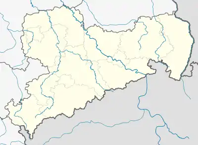 Klitten | |
| Coordinates: 51°21′N 14°36′E / 51.350°N 14.600°E | |
| Country | Germany |
| State | Saxony |
| District | Görlitz |
| Town | Boxberg |
| Area | |
| • Total | 5.289 km2 (2.042 sq mi) |
| Elevation | 134 m (440 ft) |
| Population (2008-12-31) | |
| • Total | 526 |
| • Density | 99/km2 (260/sq mi) |
| Time zone | UTC+01:00 (CET) |
| • Summer (DST) | UTC+02:00 (CEST) |
| Postal codes | 02943 |
| Dialling codes | 035895 |
| Vehicle registration | GR |
Klitten (Upper Sorbian: Klětno, pronounced [ˈklʲɪtnɔ]) is a village and a former municipality in the district Görlitz, Saxony, Germany. Since 1 February 2009, it is part of the municipality Boxberg.
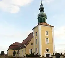
Church of the Independent Evangelical Lutheran Church
External links
 Media related to Klitten/Klětno at Wikimedia Commons
This article is issued from Wikipedia. The text is licensed under Creative Commons - Attribution - Sharealike. Additional terms may apply for the media files.