Moulay Ahmed Medeghri Airport (Laghouat Airport) | |||||||||||||||
|---|---|---|---|---|---|---|---|---|---|---|---|---|---|---|---|
| Summary | |||||||||||||||
| Airport type | Public/Military | ||||||||||||||
| Serves | Laghouat, Algeria | ||||||||||||||
| Elevation AMSL | 765 m / 2,510 ft | ||||||||||||||
| Coordinates | 33°45′51.6″N 2°55′41.5″E / 33.764333°N 2.928194°E | ||||||||||||||
| Map | |||||||||||||||
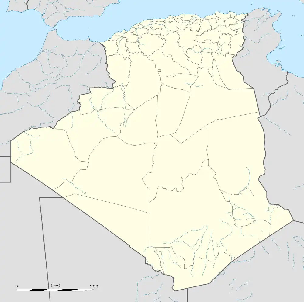 LOO Location of airport in Algeria | |||||||||||||||
| Runways | |||||||||||||||
| |||||||||||||||
Moulay Ahmed Medeghri Airport (IATA: LOO, ICAO: DAUL), also known as Laghouat Airport, is an airport near Laghouat, Algeria.
Airlines and destinations
| Airlines | Destinations |
|---|---|
| Air Algérie | Algiers, Bou Saada[4] |
References
- ↑ "Airport information for LAGHOUAT". World Aero Data. Archived from the original on 2019-03-05.
{{cite web}}: CS1 maint: unfit URL (link) Data current as of October 2006., - ↑ Airport information for DAUL at Great Circle Mapper.
- ↑ Google Maps -Laghouat
- ↑ Liu, Jim. "Air Algerie S20 domestic sectors addition". Routesonline. Retrieved 15 January 2020.
External links
- "DAUL @ aerobaticsweb.org". Landings.com.
- Current weather for DAUL at NOAA/NWS
- OurAirports - Laghouat
This article is issued from Wikipedia. The text is licensed under Creative Commons - Attribution - Sharealike. Additional terms may apply for the media files.