Lahor | |
|---|---|
 Lahor | |
| Coordinates: 34°17′N 71°10′E / 34.28°N 71.17°E | |
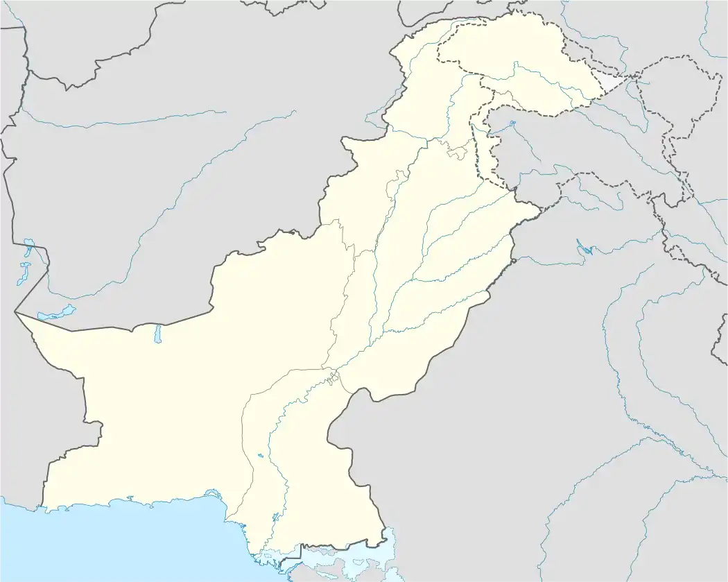
| Country | |
| Province | Federally Administered Tribal Areas |
| Elevation | 681 m (2,234 ft) |
| Time zone | UTC+5 (PST) |
Lahor is a village in the Federally Administered Tribal Areas of Pakistan. It is located at 34°28'41N 71°17'27E with an altitude of 681 metres (2237 feet).[1]
References
34°28′41″N 71°17′27″E / 34.47806°N 71.29083°E
This article is issued from Wikipedia. The text is licensed under Creative Commons - Attribution - Sharealike. Additional terms may apply for the media files.