Mantario | |
|---|---|
| Special Service Area of Mantario | |
 Mantario 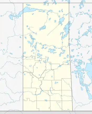 Mantario | |
| Coordinates: 51°15′44″N 109°41′57″W / 51.2623°N 109.6991°W | |
| Country | Canada |
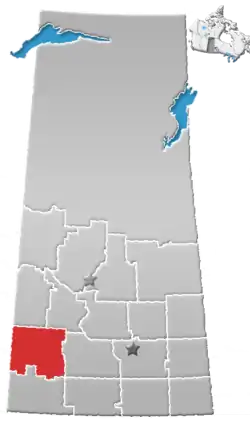
| Province | Saskatchewan |
| Region | Saskatchewan |
| Census division | 8 |
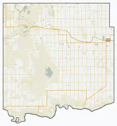
| Rural Municipality | Chesterfield No. 261 |
| Post office founded | March 1, 1912 (closed March 27, 1986) |
| Incorporated (village) | N/A |
| Incorporated (town) | N/A |
| Government | |
| • Reeve | Karrie Derouin |
| • Administrator | Beverly Dahl |
| • Governing body | Chesterfield No. 261 |
| Area | |
| • Total | 0.78 km2 (0.30 sq mi) |
| Population (2011) | |
| • Total | 5 |
| • Density | 6.4/km2 (16.6/sq mi) |
| Time zone | CST |
| Postal code | S0L 2J0 |
| Area code | 306 |
| Highways | Highway 44 |
| [1][2][3][4] | |
Mantario is a special service area[5] in the Rural Municipality of Chesterfield No. 261 in the Canadian province of Saskatchewan.It held village status prior to June 30, 2007.[6] The population was five people in 2011. The community is located 70 kilometres (43 mi) southwest of the town of Kindersley on Highway 44.
Mantario is a portmanteau of Manitoba and Ontario. It was named after two provinces in imitation of nearby Alsask.[7]
Demographics
In the 2021 Census of Population conducted by Statistics Canada, Mantario had a population of 15 living in 5 of its 7 total private dwellings, a change of 200% from its 2016 population of 5. With a land area of 0.77 km2 (0.30 sq mi), it had a population density of 19.5/km2 (50.5/sq mi) in 2021.[8]
See also
References
- ↑ National Archives, Archivia Net, Post Offices and Postmasters, archived from the original on October 6, 2006, retrieved August 1, 2011
- ↑ Government of Saskatchewan, MRD Home, Municipal Directory System, archived from the original on November 21, 2008
- ↑ Canadian Textiles Institute. (2005), CTI Determine your provincial constituency, archived from the original on September 11, 2007
- ↑ Commissioner of Canada Elections, Chief Electoral Officer of Canada (2005), Elections Canada On-line, archived from the original on April 21, 2007
- ↑ "Municipal Directory System" (PDF). Government of Saskatchewan. p. 228. Retrieved November 19, 2016.
- ↑ "Restructured Villages". Saskatchewan Ministry of Municipal Affairs. Archived from the original on March 25, 2008. Retrieved February 10, 2008.
- ↑ Barry, Bill (September 2005). Geographic Names of Saskatchewan. Regina, Saskatchewan: People Places Publishing, Ltd. p. 271. ISBN 1-897010-19-2.
- ↑ "Population and dwelling counts: Canada and designated places". Statistics Canada. February 9, 2022. Retrieved August 31, 2022.
- ↑ "2011 Community Profiles". 2011 Canadian Census. Statistics Canada. March 21, 2019.
- ↑ "2006 Community Profiles". 2006 Canadian Census. Statistics Canada. August 20, 2019.
- ↑ "2001 Community Profiles". 2001 Canadian Census. Statistics Canada. July 18, 2021.
Places adjacent to Mantario | ||||||||||||||||
|---|---|---|---|---|---|---|---|---|---|---|---|---|---|---|---|---|
| ||||||||||||||||
51°15′44″N 109°41′57″W / 51.2623°N 109.6991°W