| Mount Numanohara | |
|---|---|
| 沼ノ原山 | |
| Highest point | |
| Elevation | 1,505.6 m (4,940 ft) |
| Listing | List of mountains and hills of Japan by height |
| Coordinates | 43°31′9″N 142°57′31″E / 43.51917°N 142.95861°E |
| Geography | |
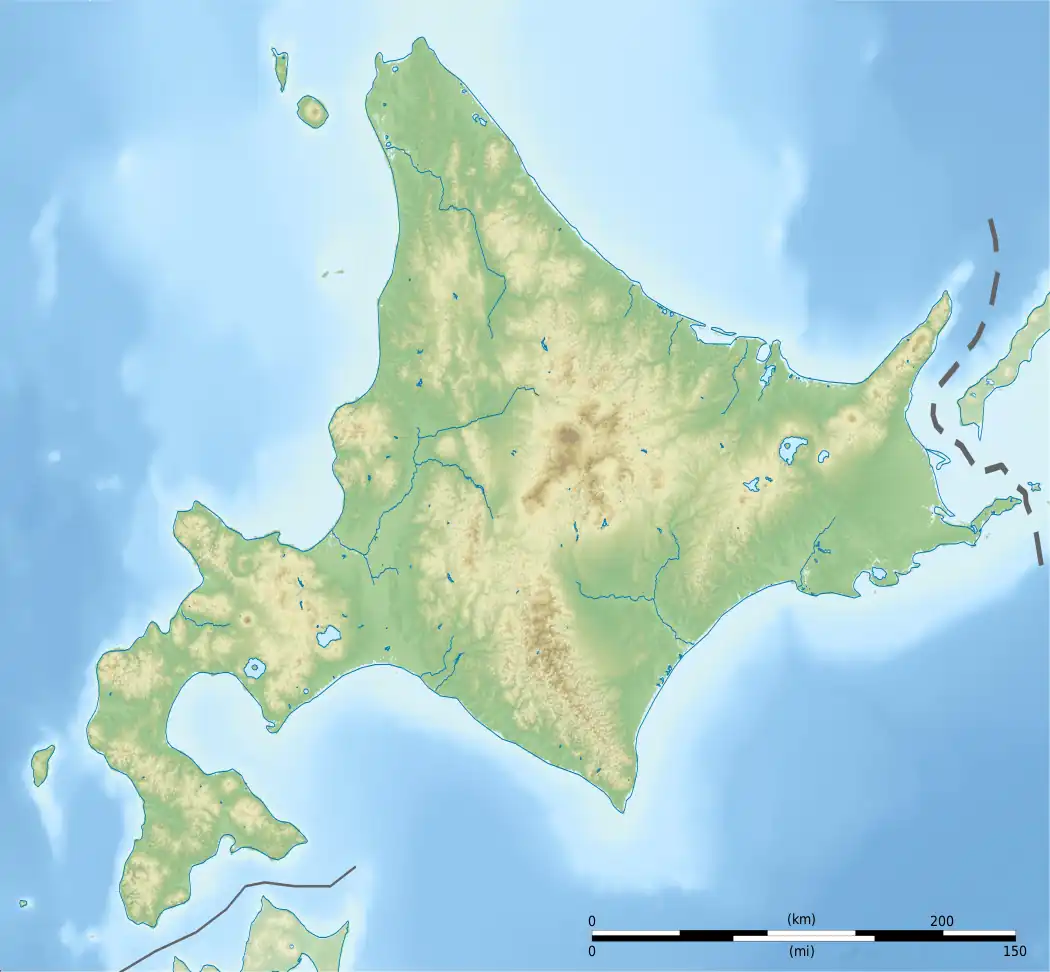
| Location | Hokkaidō, Japan |
| Parent range | Central Ishikari Mountains |
| Topo map | Geographical Survey Institute 25000:1 五色ヶ原 50000:1 旭岳 |
| Geology | |
| Age of rock | Early Pleistocene |
| Mountain type | Volcanic |
| Volcanic arc/belt | Kurile Arc |

Mount Numanohara (沼ノ原山, Numa-no-hara-yama) is part of the Ishikari Mountains, Hokkaidō, Japan.
References
- Hokkaido, Seamless Digital Geographical Map of Japan, Geological Survey of Japan, AIST (ed.). 2007.
This article is issued from Wikipedia. The text is licensed under Creative Commons - Attribution - Sharealike. Additional terms may apply for the media files.