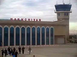
Nakhchivan International Airport Naxçıvan Hava Limanı | |||||||||||||||
|---|---|---|---|---|---|---|---|---|---|---|---|---|---|---|---|
 | |||||||||||||||
| Summary | |||||||||||||||
| Airport type | Public / Military | ||||||||||||||
| Owner | Government of Azerbaijan | ||||||||||||||
| Serves | Nakhchivan | ||||||||||||||
| Location | Nakhchivan, Azerbaijan | ||||||||||||||
| Elevation AMSL | 2,863 ft / 873 m | ||||||||||||||
| Coordinates | 39°11′19″N 045°27′30″E / 39.18861°N 45.45833°E | ||||||||||||||
| Website | airportnakhchivan | ||||||||||||||
| Map | |||||||||||||||
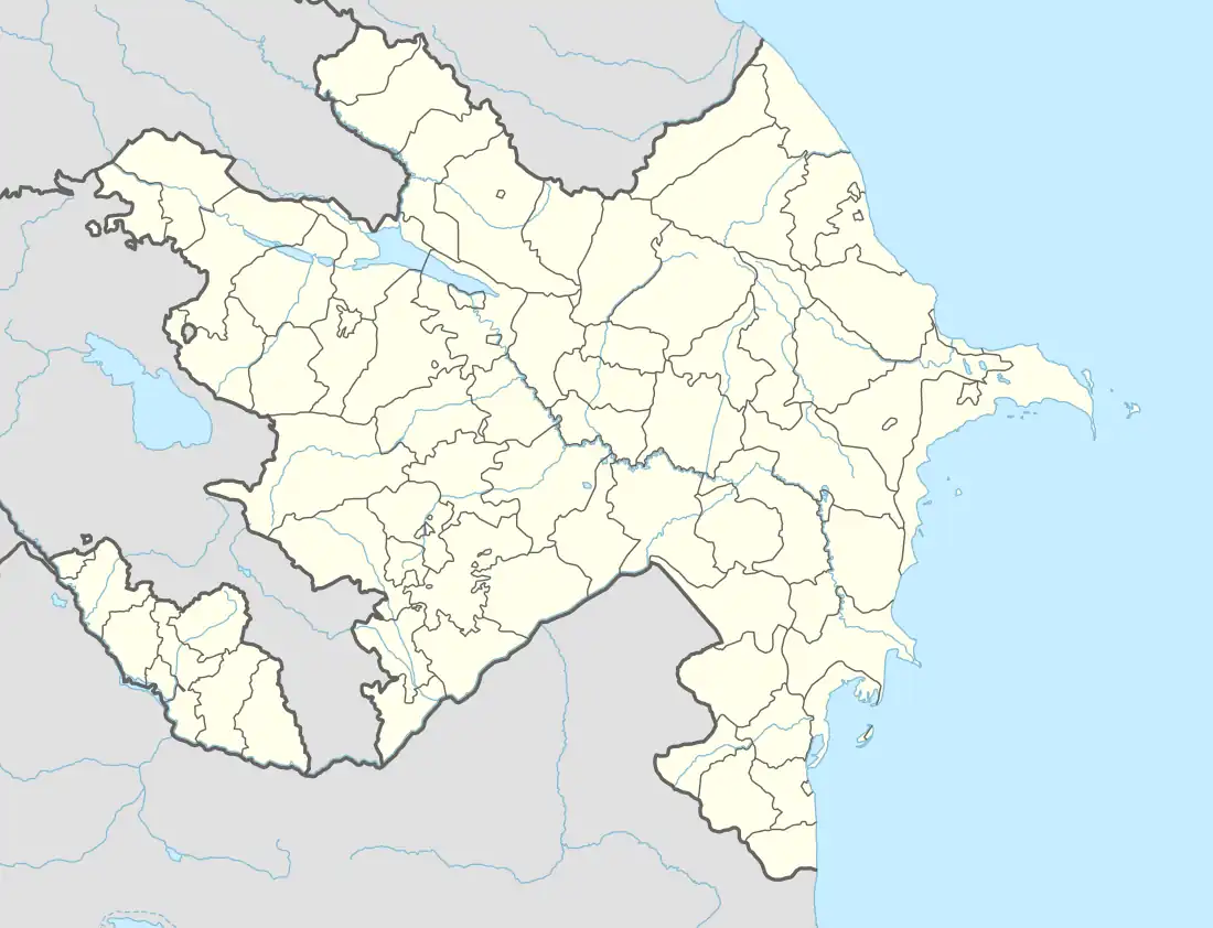 NAJ/UBBN Location of airport in Nakhchivan, Azerbaijan  NAJ/UBBN NAJ/UBBN (West and Central Asia) 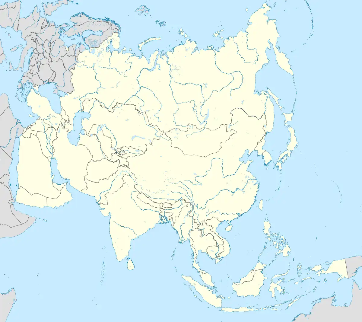 NAJ/UBBN NAJ/UBBN (Asia)  NAJ/UBBN NAJ/UBBN (Europe) | |||||||||||||||
| Runways | |||||||||||||||
| |||||||||||||||
| Statistics (2014) | |||||||||||||||
| |||||||||||||||
Nakhchivan International Airport (Azerbaijani: Naxçıvan Beynəlxalq Hava Limanı) (IATA: NAJ, ICAO: UBBN) is a civilian airport and Azeri military airbase located in Nakhchivan,[1] the capital of the Nakhchivan Autonomous Republic, a landlocked exclave of Azerbaijan. The airport was built in the 1970s.[3]
Facilities
The airport is at an elevation of 2,863 feet (873 m) above mean sea level. It has two runways: 14R/32L with a concrete surface measuring 3,300 by 45 metres (10,827 ft × 148 ft) and 14L/32R with an asphalt surface measuring 3,300 by 42 metres (10,827 ft × 138 ft).
Airlines and destinations
| Airlines | Destinations |
|---|---|
| Azerbaijan Airlines | Baku, Ganja |
| Turkish Airlines | Istanbul |
| Utair | Moscow–Vnukovo |
Statistics
Annual passenger traffic at NAJ airport.
See Wikidata query.
| Passengers | Change from previous year | Aircraft operations | Change from previous year | Cargo (metric tons) | Change from previous year | |
|---|---|---|---|---|---|---|
| 2012 | 426,848 | N.D. | 3,685 | N.D. | 1,293 | N.D. |
| 2013 | 501,690 | 4,000 | 1,629 | |||
| 2014 | 526,155 | 4,224 | 1,342 | |||
| Source: Airports Council International. World Airport Traffic Reports (Years 2012,[4] 2013,[5] and 2014[6]) | ||||||
See also
References
- 1 2 Airport information for UBBN[usurped] from DAFIF (effective October 2006)
- ↑ Airport information for NAJ at Great Circle Mapper. Source: DAFIF (effective October 2006).
- ↑ "Azerbaijan Airports". Archived from the original on 13 April 2015. Retrieved 11 April 2015.
- ↑ Airport Council International's 2012 World Airport Traffic Report
- ↑ Airport Council International's 2013 World Airport Traffic Report
- ↑ Airport Council International's 2014 World Airport Traffic Report
External links
This article is issued from Wikipedia. The text is licensed under Creative Commons - Attribution - Sharealike. Additional terms may apply for the media files.