| Piz d'Err | |
|---|---|
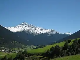 Piz d'Err from Savognin | |
| Highest point | |
| Elevation | 3,378 m (11,083 ft)[1] |
| Prominence | 153 m (502 ft)[2] |
| Parent peak | Piz Calderas |
| Isolation | 0.97 km (0.60 mi) |
| Listing | Mountains of Switzerland |
| Coordinates | 46°32′43.3″N 9°41′29.5″E / 46.545361°N 9.691528°E |
| Geography | |
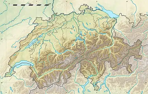 Piz d'Err Location in Switzerland | |
| Location | Graubünden, Switzerland |
| Parent range | Albula Range |
Piz d'Err is a mountain of the Albula Alps, overlooking Mulegns in the canton of Graubünden. It lies 1 km north of Piz Calderas.
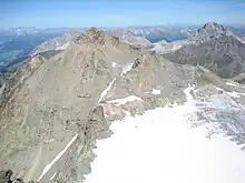
Piz d'Err from Piz Calderas
References
- ↑ Swisstopo map
- ↑ Google Earth
External links
Wikimedia Commons has media related to Piz d'Err.
This article is issued from Wikipedia. The text is licensed under Creative Commons - Attribution - Sharealike. Additional terms may apply for the media files.