| Q'atawi Qullu | |
|---|---|
 Q'atawi Qullu Peru | |
| Highest point | |
| Elevation | 4,600 m (15,100 ft)[1] |
| Coordinates | 14°24′51″S 70°11′52″W / 14.41417°S 70.19778°W |
| Geography | |
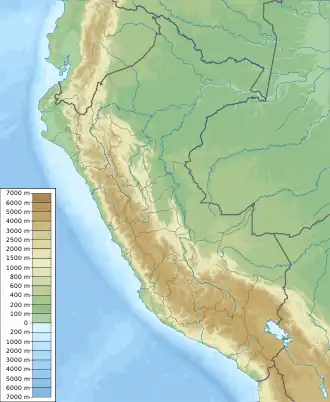
| Location | Peru, Puno Region, Azángaro Province |
| Parent range | Andes |
Q'atawi Qullu (Aymara q'atawi lime, qullu mountain,[2] "lime mountain", Hispanicized spelling Catahuicollo) is a mountain in the Peruvian Andes, about 4,600 metres (15,092 ft) high. It is located in the Puno Region, Azángaro Province, at the border of the districts Potoni and San Antón.[1]
References
- 1 2 escale.minedu.gob.pe - UGEL map of the Azángaro Province (Puno Region)
- ↑ Radio San Gabriel, "Instituto Radiofonico de Promoción Aymara" (IRPA) 1993, Republicado por Instituto de las Lenguas y Literaturas Andinas-Amazónicas (ILLLA-A) 2011, Transcripción del Vocabulario de la Lengua Aymara, P. Ludovico Bertonio 1612 (Spanish-Aymara-Aymara-Spanish dictionary)
This article is issued from Wikipedia. The text is licensed under Creative Commons - Attribution - Sharealike. Additional terms may apply for the media files.