| Hoher Randen | |
|---|---|
 | |
| Highest point | |
| Peak | Schlattersteig |
| Elevation | 930 m (3,051 ft) |
| Prominence | 228 m (748 ft)[1] |
| Coordinates | 47°47′13″N 8°33′23″E / 47.78694°N 8.55639°E |
| Geography | |
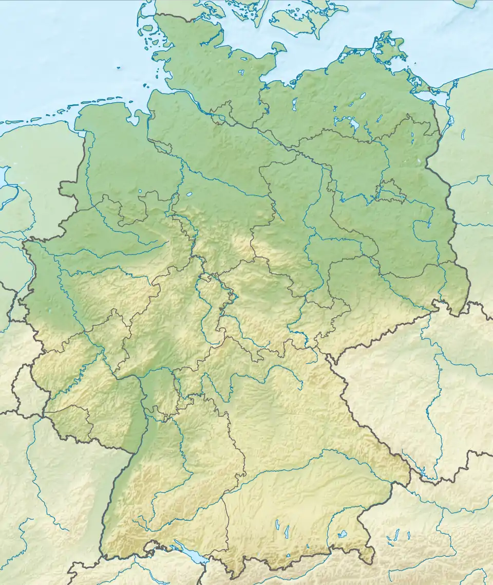 Hoher Randen Location in Germany | |
| Countries | Germany and (massif partially in Switzerland) |
| Bundesland | Baden-Württemberg |
| Parent range | Randen |
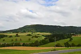
The Hoher Randen 909 m (2,982 ft) with its Schlattersteig (930 m (3,051 ft)) is the highest mountain of the Randen, a range located between the Jura and the Swabian Jura. It is located south of Blumberg in the German state of Baden-Württemberg, near the border with the Swiss canton of Schaffhausen.
References
External links
This article is issued from Wikipedia. The text is licensed under Creative Commons - Attribution - Sharealike. Additional terms may apply for the media files.