Roche-d'Or | |
|---|---|
Location of Roche-d'Or | |
 Roche-d'Or 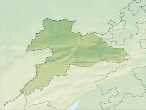 Roche-d'Or | |
| Coordinates: 47°22′N 06°57′E / 47.367°N 6.950°E | |
| Country | Switzerland |
| Canton | Jura |
| District | Porrentruy |
| Area | |
| • Total | 346 km2 (134 sq mi) |
| Elevation | 842 m (2,762 ft) |
| Population (2003) | |
| • Total | 39 |
| • Density | 0.11/km2 (0.29/sq mi) |
| Time zone | UTC+01:00 (Central European Time) |
| • Summer (DST) | UTC+02:00 (Central European Summer Time) |
| Postal code(s) | 2912 |
| SFOS number | 6802 |
| Surrounded by | Réclère, Grandfontaine, Rocourt, Chevenez, Vaufrey(F), Montursin(F), Vernois-le-Fol(F) |
| Website | SFSO statistics |
Roche-d'Or is a village and former municipality in the district of Porrentruy in the canton of Jura in Switzerland. Since 1. January 2009 it is a part of the new municipality Haute-Ajoie.
References
Wikimedia Commons has media related to Roche-d'Or.
This article is issued from Wikipedia. The text is licensed under Creative Commons - Attribution - Sharealike. Additional terms may apply for the media files.