Sage, California | |
|---|---|
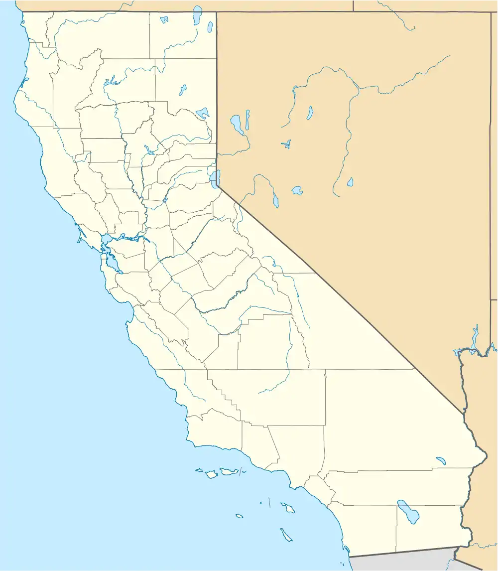 Sage, California  Sage, California | |
| Coordinates: 33°34′54″N 116°55′56″W / 33.58167°N 116.93222°W | |
| Country | United States |
| State | California |
| County | Riverside |
| Area | |
| • Total | 68.27 sq mi (176.81 km2) |
| • Land | 68.26 sq mi (176.79 km2) |
| • Water | 0.01 sq mi (0.02 km2) |
| Elevation | 2,313 ft (705 m) |
| Population (2020)[2] | |
| • Total | 3,370 |
| • Density | 49.37/sq mi (19.06/km2) |
| Time zone | UTC-8 (Pacific (PST)) |
| • Summer (DST) | UTC-7 (PDT) |
| Area code | 951 |
| GNIS feature ID | 1661354 |
Sage is a census-designated place (CDP) in Riverside County, California, United States. It has a population of 3,370 according to the 2020 census. It is a rural community with a history of farming, ranching, and bee keeping dating back to 1893. Sage is known for its views, hiking, multi-habitat species preserves, and close proximity to the Temecula Valley Wine Country. Its elevation is 2,313 feet (705 m).[3][4]
References
- ↑ "Gazetteer Files - 2021". United States Census Bureau. United States Census Bureau. Retrieved January 16, 2022.
- ↑ "Explore Census Data". United States Census Bureau. United States Census Bureau. Retrieved January 16, 2022.
- ↑ "Sage". Geographic Names Information System. United States Geological Survey, United States Department of the Interior.
- ↑ "Sage". CA HomeTownLocator. Retrieved May 29, 2012.

This article is issued from Wikipedia. The text is licensed under Creative Commons - Attribution - Sharealike. Additional terms may apply for the media files.