| Sierra de Utiel | |
|---|---|
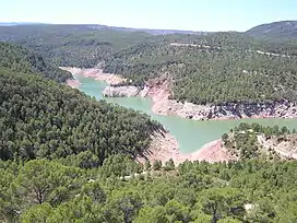 The Benagéber reservoir, in the Utiel Range area | |
| Highest point | |
| Elevation | 1,306 m (4,285 ft) |
| Listing | Mountains of the Valencian Community |
| Coordinates | 39°37′16″N 0°58′48″W / 39.62111°N 0.98000°W |
| Geography | |
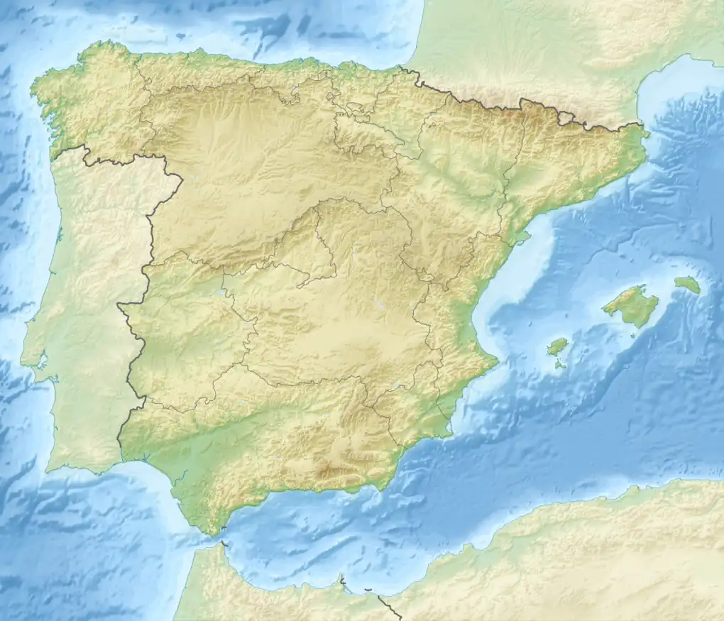 Sierra de Utiel Spain | |
| Location | Plana d'Utiel and Serrans, Valencian Community |
| Parent range | Iberian System, Southeastern end |
| Geology | |
| Mountain type | Karstic (Jurassic) |
| Climbing | |
| Easiest route | Drive from Utiel, Sinarcas, Loriguilla, Domeño, Chera, Benagéber or Calles |
Sierra de Utiel[1] (Valencian: Serra d'Utiel) is a 16.45 km (10 mi) long mountain range in the Alt Palància, Alt Millars and Plana Baixa comarcas, Valencian Community, Spain. Its highest point is the 1,306 m high El Remedio (Valencian: El Remei). There is often snow in the winter.[2]
Minor ranges
There are four ranges running parallel to each other:
- Sierra del Negrete, also known as Sierra del Remedio (Valencian: Serra del Remei), the main range, with the 1,306 m high El Remedio (Valencian: El Remei), where there is a shrine[3] and the Cerrochico (1,223 m).
- The Sierra de Utiel proper with the 1,112 m high Cabeza del Fraile
- The Sierra de Juan Navarro with the 1,177 m high Cinco Pinos, the Juan Navarro (1,167 m) and the Ropé (1,140 m), where both former ranges merge to meet the tectonic depression of Chera.
- The Sierra de la Atalaya, whose highest summit is La Atalaya (1,157 m).
The Utiel Range has been declared a Site of Community Importance (SCI).[4]
See also
References
- ↑ Vicenç M. Rosselló i Verger, Toponímia, geografia i cartografia
- ↑ Nieve en la Sierra del Remedio de Utiel
- ↑ Images of The Shrine of El Remedio, near Utiel
- ↑ SCI Sierra del Negrete
External links
This article is issued from Wikipedia. The text is licensed under Creative Commons - Attribution - Sharealike. Additional terms may apply for the media files.