| Letha Taung | |
|---|---|
| Singu Plateau | |
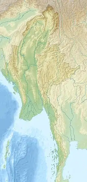 Letha Taung Location in Burma | |
| Highest point | |
| Elevation | 493 m (1,617 ft)[1] |
| Listing | List of mountains in Burma |
| Coordinates | 22°41′N 95°58′E / 22.683°N 95.967°E[1] |
| Geography | |
| Location | Mandalay Division, Myanmar |
| Parent range | Foothills of the Shan Hills |
| Climbing | |
| First ascent | unknown |
| Easiest route | climb |
Letha Taung, also known as the Singu Plateau,[2] is a small volcanic plateau in central Burma (Myanmar).
Geography
Letha Taung is located near Nweyon, Singu Township, Pyinoolwin District, Mandalay Division, about 3 km west of National Highway 31.[3] The lavas that form the plateau originally came from fissure vents during the Holocene, although the date of the last eruption is unknown.[4] The active Sagaing Fault, a transform boundary runs under this structure.[5]
See also
References
- 1 2 GoogleEarth
- ↑ AVA - Singu Plateau
- ↑ "Letha Taung". Mapcarta. Retrieved 28 May 2016.
- ↑ "Singu Plateau". Global Volcanism Program. Smithsonian Institution.
- ↑ Caltech (25 April 2014). "Active Tectonics and Earthquake Potential of the Myanmar Region" (PDF). Journal of Geophysical Research: Solid Earth: 21 – via AGU Publishings.
This article is issued from Wikipedia. The text is licensed under Creative Commons - Attribution - Sharealike. Additional terms may apply for the media files.