Stipanjići | |
|---|---|
Village | |
 Stipanjići | |
| Coordinates: 43°43′N 17°10′E / 43.717°N 17.167°E | |
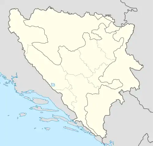
| Country | Bosnia and Herzegovina |
| Entity | Federation of Bosnia and Herzegovina |
| Canton | Canton 10 |
| Municipality | Tomislavgrad |
| Area | |
| • Total | 27.30 km2 (10.54 sq mi) |
| Elevation | 920 m (3,020 ft) |
| Population (2013) | |
| • Total | 1,167 |
| • Density | 43/km2 (110/sq mi) |
| Time zone | UTC+1 (CET) |
| • Summer (DST) | UTC+2 (CEST) |
Stipanjići is a village in the Municipality of Tomislavgrad in Canton 10 of the Federation of Bosnia and Herzegovina, an entity of Bosnia and Herzegovina.
Location
Stipanjići is 7 kilometres away from Tomislavgrad
Demographics
According to the 2013 census, its population was 1,167.[1]
| Ethnicity | Number | Percentage |
|---|---|---|
| Croats | 778 | 66.7% |
| Bosniaks | 376 | 32.2% |
| Serbs | 1 | 0.1% |
| other/undeclared | 12 | 1.0% |
| Total | 1,167 | 100% |
Footnotes
Bibliography
- Ethnicity/National Affiliation, Religion and Mother Tongue (PDF). Sarajevo: Agency for Statistics of Bosnia and Herzegovina. 2019.
This article is issued from Wikipedia. The text is licensed under Creative Commons - Attribution - Sharealike. Additional terms may apply for the media files.