Sumatra, Florida | |
|---|---|
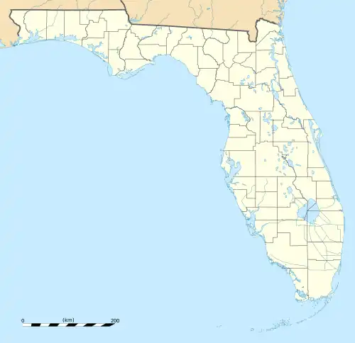 Sumatra  Sumatra | |
| Coordinates: 30°01′13″N 84°58′45″W / 30.02028°N 84.97917°W | |
| Country | United States |
| State | Florida |
| County | Liberty |
| Area | |
| • Total | 0.967 sq mi (2.50 km2) |
| • Land | 0.967 sq mi (2.50 km2) |
| • Water | 0 sq mi (0 km2) |
| Elevation | 26 ft (8 m) |
| Population | |
| • Total | 148 |
| • Density | 150/sq mi (59/km2) |
| Time zone | UTC-5 (Eastern (EST)) |
| • Summer (DST) | UTC-4 (EDT) |
| ZIP code | 32321[2] |
| Area code | 850 |
| GNIS feature ID | 306462[3] |
Sumatra is an unincorporated community and census-designated place in Liberty County, Florida, United States. Its population was 148 as of the 2010 census.[1] It is located on State Road 65. It is approximately 25 miles north of Eastpoint and 35 miles south of Hosford.
The Prospect Bluff Historic Sites are located in Sumatra.
References
- 1 2 3 "2010 Census Gazetteer Files - Places: Florida". U.S. Census Bureau. Retrieved March 26, 2017.
- ↑ "Sumatra FL ZIP Code". zipdatamaps.com. 2023. Retrieved February 17, 2023.
- ↑ "Sumatra". Geographic Names Information System. United States Geological Survey, United States Department of the Interior.
Municipalities and communities of Liberty County, Florida, United States | ||
|---|---|---|
| City |  | |
| CDPs | ||
| Unincorporated communities | ||
This article is issued from Wikipedia. The text is licensed under Creative Commons - Attribution - Sharealike. Additional terms may apply for the media files.