Native name: Тендрівська коса | |
|---|---|
 Tendra Spit 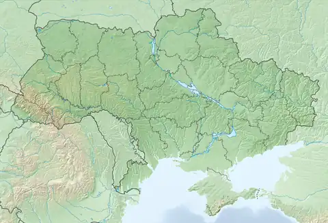 Tendra Spit | |
| Geography | |
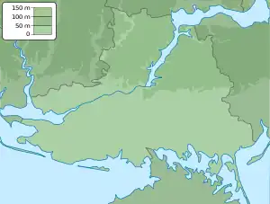
| Coordinates | 46°14′24″N 31°37′48″E / 46.24000°N 31.63000°E |
| Adjacent to | Black Sea, Gulf of Tendra |
| Area | 12.89 km2 (4.98 sq mi) |
| Length | 65 km (40.4 mi) |
| Width | 1.8 km (1.12 mi) |
| Administration | |
Ukraine (occupied by Russia) | |
| Oblast | Kherson Oblast |
| Raion | Skadovsk Raion |
| Demographics | |
| Population | Uninhabited (2001)2001 Ukrainian Census |
| Additional information | |
Tendra Spit is a sandbar in the Black Sea and part of Kherson Oblast in Ukraine.
The island serves as a separation of the Gulf of Tendra from the Black Sea and is located at the southern and western part of the bay. In the west the island has a spit Bili Kuchuhury which, stretching east through the Gulf of Tendra as a shoal, reaches the Yahorlyk Kut peninsula. Bili Kuchuhury has the Bili Kuchuhury Lighthouse.
Tendra Lighthouse is also on the island.
History
The Battle of Tendra took place on 8 and 9 September 1790.
The mutiny of men on board the Russian battleship Potemkin took place off Tendra Spit in June 1905.
See also
External links
- Tendra Spit at the Encyclopedia of Ukraine
- Photos of Tendra Spit at May 2016
This article is issued from Wikipedia. The text is licensed under Creative Commons - Attribution - Sharealike. Additional terms may apply for the media files.