Tocha | |
|---|---|
 Typical fisherman house in Praia da Tocha | |
 Flag  Coat of arms | |
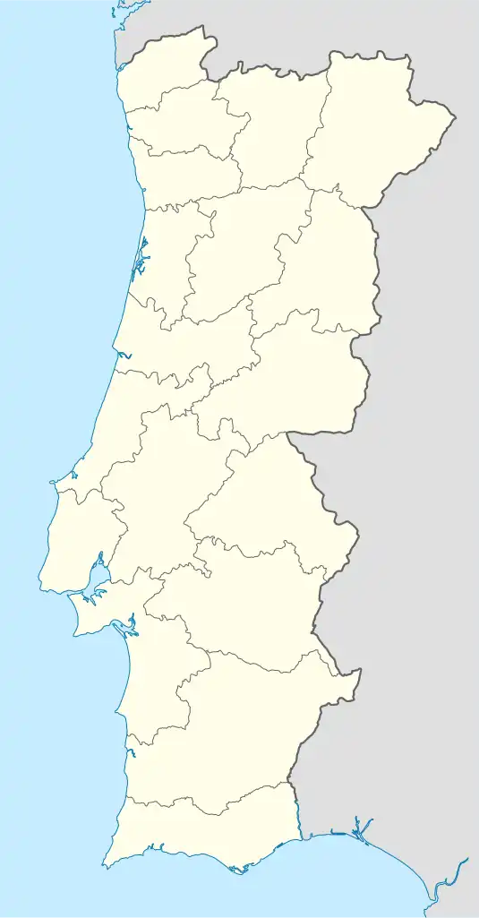 Tocha Location in Portugal | |
| Coordinates: 40°18′50″N 8°45′11″W / 40.314°N 8.753°W | |
| Country | |
| Region | Centro |
| Intermunic. comm. | Região de Coimbra |
| District | Coimbra |
| Municipality | Cantanhede |
| Area | |
| • Total | 78.44 km2 (30.29 sq mi) |
| Population (2011) | |
| • Total | 3,992 |
| • Density | 51/km2 (130/sq mi) |
| Time zone | UTC±00:00 (WET) |
| • Summer (DST) | UTC+01:00 (WEST) |
| Website | www |
Tocha is a civil parish in the municipality of Cantanhede, Portugal. The population in 2011 was 3,992,[1] in an area of 78.44 km².[2]
References
This article is issued from Wikipedia. The text is licensed under Creative Commons - Attribution - Sharealike. Additional terms may apply for the media files.