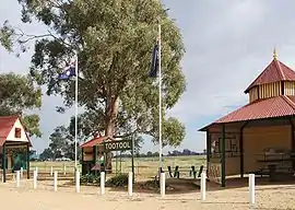
| Tootool New South Wales | |
|---|---|
 Tootool rest area | |
 Tootool | |
| Coordinates | 35°11′14″S 146°58′27″E / 35.18722°S 146.97417°E |
| Population | 51 (SAL 2021)[1] |
| Postcode(s) | 2655 |
| Elevation | 188 m (617 ft) |
| Location |
|
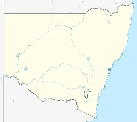
| LGA(s) | Lockhart Shire |
| County | Mitchell |
| State electorate(s) | Wagga Wagga |
Tootool is a rural community in the central east part of the Riverina. It is situated by road, about 4 kilometres east of French Park and 16 kilometres west of The Rock.
Tootool Post Office opened on 1 August 1901 and closed in 1966.[2]
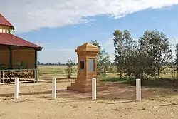
War memorial
Notes and references
- ↑ Australian Bureau of Statistics (28 June 2022). "Tootool (suburb and locality)". Australian Census 2021 QuickStats. Retrieved 28 June 2022.
- ↑ Phoenix Auctions History, Post Office List, retrieved 20 January 2021
| Preceding station | Former Services | Following station | ||
|---|---|---|---|---|
| French Park towards Oaklands |
Oaklands Line | The Rock Terminus | ||
Wikimedia Commons has media related to Tootool, New South Wales.
This article is issued from Wikipedia. The text is licensed under Creative Commons - Attribution - Sharealike. Additional terms may apply for the media files.