| Touqian River | |
|---|---|
 Bridge near the river mouth | |
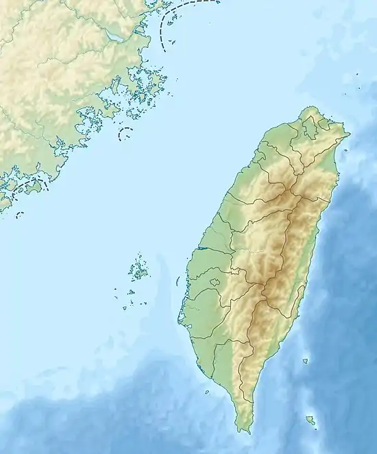 Touqian River in Taiwan | |
| Native name | 頭前溪 (Chinese) |
| Location | |
| Country | Taiwan |
| Physical characteristics | |
| Source | |
| • location | Xueshan Range: 鹿場大山 |
| • elevation | 2,616 m (8,583 ft) |
| Mouth | |
• location | Taiwan Strait: Hsinchu County |
| Length | 63.03 km (39.17 mi) |
| Basin size | 565.94 km2 (218.51 sq mi) |
The Touqian River (Chinese: 頭前溪; Hanyu Pinyin: Tóuqián Xī; Tongyong Pinyin: Tóucián Si; Wade–Giles: T'ou2-ch'ien2 Hsi1) is a river in northern Taiwan.[1] It flows through Hsinchu County for 63 km (39 mi).[2][3]
See also
References
- ↑ "GeoNames Search". Geographic Names Database. National Geospatial-Intelligence Agency, USA. Retrieved 1 May 2016.
- ↑ "Geography & demographics". The Republic of China Yearbook 2015. Executive Yuan. 2015. pp. 40–53. ISBN 978-986-04-6013-1.
- ↑ "Touqian River" (in Chinese). Water Resources Agency, Ministry of Economic Affairs. Retrieved 1 May 2016.
Wikimedia Commons has media related to Touqian River.
24°51′07″N 120°55′48″E / 24.8519°N 120.9300°E
This article is issued from Wikipedia. The text is licensed under Creative Commons - Attribution - Sharealike. Additional terms may apply for the media files.