Upper Holmesburg | |
|---|---|
 Upper Holmesburg | |
| Coordinates: 40°02′46″N 75°00′32″W / 40.046°N 75.009°W | |
| Country | |
| State | Pennsylvania |
| County | Philadelphia County |
| City | Philadelphia |
| Area code(s) | 215, 267, and 445 |
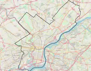
Upper Holmesburg is a neighborhood in Northeast Philadelphia, Pennsylvania, United States. It is located along the Delaware River and Pennypack Creek, from Frankford Avenue to Willits Road.[1] St. Dominic Roman Catholic parish is located in this section, on the 8500 block of Frankford Avenue.
References
- ↑ "Philadelphia Neighborhoods". www.phila.gov. Retrieved 23 April 2018.
This article is issued from Wikipedia. The text is licensed under Creative Commons - Attribution - Sharealike. Additional terms may apply for the media files.