Wüstenjerichow | |
|---|---|
 Coat of arms | |
Location of Wüstenjerichow | |
 Wüstenjerichow 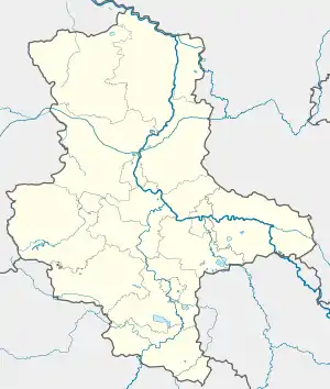 Wüstenjerichow | |
| Coordinates: 52°13′N 12°7′E / 52.217°N 12.117°E | |
| Country | Germany |
| State | Saxony-Anhalt |
| District | Jerichower Land |
| Town | Möckern |
| Area | |
| • Total | 21.43 km2 (8.27 sq mi) |
| Elevation | 81 m (266 ft) |
| Population (2006-12-31) | |
| • Total | 127 |
| • Density | 5.9/km2 (15/sq mi) |
| Time zone | UTC+01:00 (CET) |
| • Summer (DST) | UTC+02:00 (CEST) |
| Postal codes | 39291 |
| Dialling codes | 039225 |
Wüstenjerichow is a village and a former municipality in the Jerichower Land district, in Saxony-Anhalt, Germany. Since 1 January 2010, it has been part of the town Möckern.
This article is issued from Wikipedia. The text is licensed under Creative Commons - Attribution - Sharealike. Additional terms may apply for the media files.