Western Run–Belfast Road Historic District | |
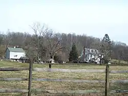 Western Run–Belfast Road Historic District, December 2009 | |
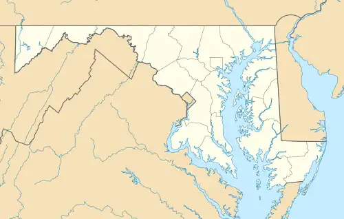  | |
| Location | NW of Lutherville, Lutherville, Maryland |
|---|---|
| Coordinates | 39°31′45″N 76°41′39″W / 39.52917°N 76.69417°W |
| Area | 9,975 acres (4,037 ha) |
| Architectural style | Colonial Revival, Georgian, Federal |
| NRHP reference No. | 79001116[1] |
| Added to NRHP | January 23, 1979 |
Western Run–Belfast Road Historic District is a national historic district at Lutherville, Baltimore County, Maryland, United States. It is a largely agricultural area was first settled in the 18th century and is a natural extension of the Worthington Valley Historic District. It includes the village of Butler forming a small commercial crossroads with its general store, post office, and firehouse.[2]
It was added to the National Register of Historic Places in 1979.[1]
References
- 1 2 "National Register Information System". National Register of Historic Places. National Park Service. March 13, 2009.
- ↑ Catherine F. Black and James T. Wollon, Jr. (September 1976). "National Register of Historic Places Registration: Western Run–Belfast Road Historic District" (PDF). Maryland Historical Trust. Retrieved March 1, 2016.
External links
- Western Run/Belfast Road Historic District, Baltimore County, including photo dated 1978, at Maryland Historical Trust
- Boundary Map of the Western Run–Belfast Road Historic District, Baltimore County, at Maryland Historical Trust
| Topics | 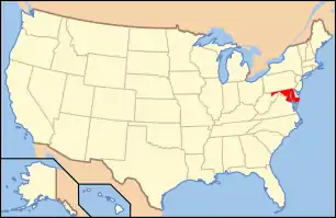 | |
|---|---|---|
| Lists by county | ||
| Lists by city | ||
| Other lists | ||
| ||
This article is issued from Wikipedia. The text is licensed under Creative Commons - Attribution - Sharealike. Additional terms may apply for the media files.