| Woezer See | |
|---|---|
 | |
 Woezer See | |
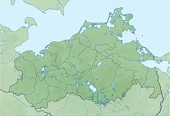
| Location | Ludwigslust-Parchim, Mecklenburg-Vorpommern |
| Coordinates | 53°34′54″N 11°04′56″E / 53.58164°N 11.08213°E |
| Primary inflows | Schilde |
| Primary outflows | Schilde, Düsterbeck |
| Basin countries | Germany |
| Max. length | 1.342 km (0.834 mi) |
| Max. width | 0.686 km (0.426 mi) |
| Surface area | 0.57 km2 (0.22 sq mi) |
| Average depth | 1.1 m (3 ft 7 in) |
| Max. depth | 1.6 m (5 ft 3 in) |
| Water volume | 610,000 m3 (22,000,000 cu ft) |
| Shore length1 | 3.5 km (2.2 mi) |
| Surface elevation | 35.1 m (115 ft) |
| 1 Shore length is not a well-defined measure. | |
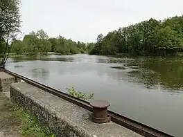
Woezer See is a lake in the Ludwigslust-Parchim district in Mecklenburg-Vorpommern, Germany. At an elevation of 35.1 m, its surface area is 0.57 km2.
External links
- Nixdorf, B.; et al. (2004), "Woezer See", Dokumentation von Zustand und Entwicklung der wichtigsten Seen Deutschlands (in German), Berlin: Umweltbundesamt, p. 315
This article is issued from Wikipedia. The text is licensed under Creative Commons - Attribution - Sharealike. Additional terms may apply for the media files.