Água Izé | |
|---|---|
.jpg.webp) The residential area, once used as the worker's housing for the town's cocoa warehouse | |
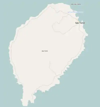 Água Izé Location on São Tomé Island | |
| Coordinates: 0°13′06″N 6°43′38″E / 0.2184°N 6.7273°E | |
| Country | São Tomé and Príncipe |
| Island | São Tomé |
| District | Cantagalo |
| Population (2012) | |
| • Total | 1,255 |
| Time zone | UTC+1 (WAT) |
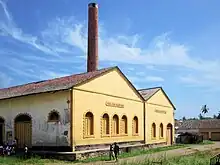
Roça Água Izé, a former cocoa warehouse which is today a museum
Água Izé is a village on São Tomé Island. Its population is 1,255 (2012 census).[1] It lies on the coast, 4 km northeast of Ribeira Afonso and 5 km southwest of Santana. The most notable landmark is Roça Água Izé, a former plantation complex. Most of the preserved buildings date from the 1910s.[2]
Population history
| Year | Pop. | ±% |
|---|---|---|
| 2001[3] | 1,044 | — |
| 2008[3] | 1,190 | +14.0% |
| 2012[1] | 1,255 | +5.5% |
References
- 1 2 2012 detailed census São Tomé e Príncipe, Instituto Nacional de Estatística
- ↑ Roça Água Izé - As Roças de São Tomé
- 1 2 "Evolução da população São-Tomense por localidades, 2001/2007-08" (PDF). Instituto Nacional de Estatística. Archived from the original (PDF) on 2017-02-09.
External links
 Media related to Roça Agua Izé at Wikimedia Commons
| Communities |  | |
|---|---|---|
| Geographical features | ||
This article is issued from Wikipedia. The text is licensed under Creative Commons - Attribution - Sharealike. Additional terms may apply for the media files.