Çatalpınar | |
|---|---|
District and municipality | |
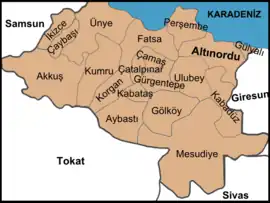 Map showing Çatalpınar District in Ordu Province | |
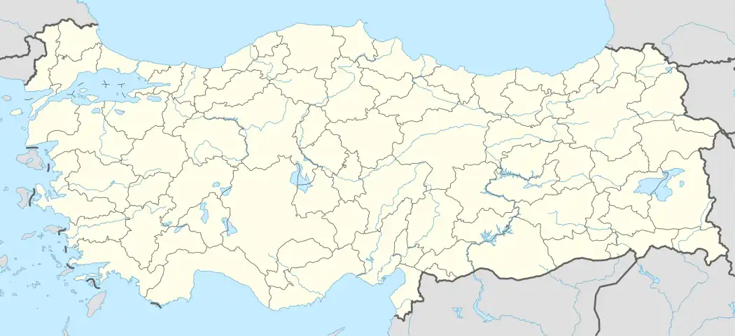 Çatalpınar Location in Turkey | |
| Coordinates: 40°52′44″N 37°27′11″E / 40.87889°N 37.45306°E | |
| Country | Turkey |
| Province | Ordu |
| Government | |
| • Mayor | Ahmet Türe (AKP) |
| Area | 101 km2 (39 sq mi) |
| Elevation | 150 m (490 ft) |
| Population (2022)[1] | 13,025 |
| • Density | 130/km2 (330/sq mi) |
| Time zone | TRT (UTC+3) |
| Postal code | 52420 |
| Area code | 0452 |
| Climate | Cfa |
| Website | www |
Çatalpınar is a municipality and district of Ordu Province, Turkey.[2] Its area is 101 km2,[3] and its population is 13,025 (2022).[1] The town lies at an elevation of 150 m (492 ft).
The local economy depends on agriculture, particularly growing hazelnuts and grazing animals. There is a mineral water spring in the village of Elmaköy.
Composition
There are 23 neighbourhoods in Çatalpınar District:[4]
- Akkaya
- Dere
- Elmaköy
- Göller
- Gündoğdu
- Güney
- Güneyce
- Haşal
- Hatipler
- İncirli
- Karahamza
- Karahasan
- Karşıyaka
- Kayatepe
- Keçili
- Kıran
- Madenköy
- Merkez
- Ortaköy
- Sayacatürk
- Şirinköy
- Terimli
- Yenimahalle
References
- 1 2 "Address-based population registration system (ADNKS) results dated 31 December 2022, Favorite Reports" (XLS). TÜİK. Retrieved 19 September 2023.
- ↑ Büyükşehir İlçe Belediyesi, Turkey Civil Administration Departments Inventory. Retrieved 19 September 2023.
- ↑ "İl ve İlçe Yüz ölçümleri". General Directorate of Mapping. Retrieved 19 September 2023.
- ↑ Mahalle, Turkey Civil Administration Departments Inventory. Retrieved 19 September 2023.
External links
- District governor's official website (in Turkish)
- Road map of Çatalpınar and environs
- Detailed map of Çatalpınar district
- Various images of Çatalpınar, Ordu
Çatalpınar in Ordu Province of Turkey | |||||||||||||||||||||||||||
|---|---|---|---|---|---|---|---|---|---|---|---|---|---|---|---|---|---|---|---|---|---|---|---|---|---|---|---|
| Districts | 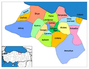 Districts of Ordu | ||||||||||||||||||||||||||
| |||||||||||||||||||||||||||
Metropolitan municipalities are bolded. | |||||||||||||||||||||||||||
This article is issued from Wikipedia. The text is licensed under Creative Commons - Attribution - Sharealike. Additional terms may apply for the media files.