| Ōhinetamatea River / Saltwater Creek | |
|---|---|
 | |
| Location | |
| Country | New Zealand |
| Physical characteristics | |
| Source | |
| • elevation | 1,700 metres (5,600 ft) |
| Mouth | |
• location | Tasman Sea |
• elevation | 0 metres (0 ft) |
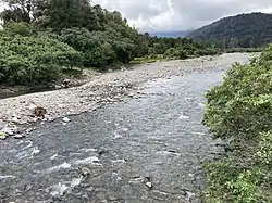
Ōhinetamatea River / Saltwater Creek is a river in the Westland District of New Zealand.[1]
The river rises on the north flank of the Copland Range and flows generally northward until it reaches the valley of the Cook River and turns westward.[2] There is a 72 metres (236 ft) high waterfall at 700 metres (2,300 ft) elevation.[3] The river passes to the south of an ancient glacial moraine which separates its lower reaches from the Cook River valley.[1]
See also
References
- 1 2 New Zealand 1:50000 Topographic Map sheet BX14 – Gillespie's Beach
- ↑ "Place name detail: Ōhinetamatea River". New Zealand Gazetteer. New Zealand Geographic Board. Retrieved 1 October 2023.
- ↑ New Zealand 1:50000 Topographic Map series sheet BX15 – Fox Glacier
43°27′S 169°46′E / 43.450°S 169.767°E
This article is issued from Wikipedia. The text is licensed under Creative Commons - Attribution - Sharealike. Additional terms may apply for the media files.