Ścięgny | |
|---|---|
Village | |
 | |
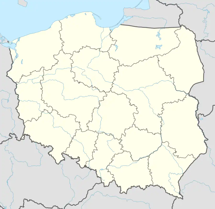 Ścięgny Location of Ścięgny | |
| Coordinates: 50°47′33″N 15°46′18″E / 50.79250°N 15.77167°E | |
| Country | |
| Voivodeship | Lower Silesian |
| Powiat | Karkonosze |
| Gmina | Podgórzyn |
| First mentioned | 1305 |
| Time zone | UTC+1 (CET) |
| • Summer (DST) | UTC+2 (CEST) |
| Vehicle registration | DJE |
Ścięgny [ˈɕt͡ɕɛɡnɨ] is a village in the administrative district of Gmina Podgórzyn, within Jelenia Góra County, Lower Silesian Voivodeship, in south-western Poland.[1]
It lies approximately 13 km (8 mi) south of Jelenia Góra, and 97 km (60 mi) south-west of the regional capital Wrocław.
The village was first mentioned in a document of the Wrocław cathedral chapter from 1305, when it was part of fragmented Piast-ruled Poland.[2]
There is a memorial to Wacław Koler, 16th-century philologist and physician, one of the pioneers of Polish Hellenic studies and one of Poland's first numismatists, who was born in the village.
Gallery
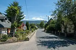
_jar.jpg.webp) Western city
Western city_jar.jpg.webp) Pastures and mountain by the village
Pastures and mountain by the village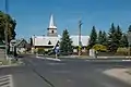 Saint Joseph the Worker church
References
Wikimedia Commons has media related to Ścięgny.
- ↑ "Central Statistical Office (GUS) – TERYT (National Register of Territorial Land Apportionment Journal)" (in Polish). 2008-06-01.
- ↑ Staffa, Marek (2001). Karkonosze (in Polish). Wrocław: Wydawnictwo Dolnośląskie. p. 56. ISBN 83-7023-560-3.
| Seat | ||
|---|---|---|
| Other villages | ||
This article is issued from Wikipedia. The text is licensed under Creative Commons - Attribution - Sharealike. Additional terms may apply for the media files.