Abbaye Airport Boghé Abbaye | |||||||||||
|---|---|---|---|---|---|---|---|---|---|---|---|
| Summary | |||||||||||
| Airport type | Public | ||||||||||
| Serves | Boghé | ||||||||||
| Elevation AMSL | 66 ft / 20 m | ||||||||||
| Coordinates | 16°38′10″N 14°11′25″W / 16.63611°N 14.19028°W | ||||||||||
| Map | |||||||||||
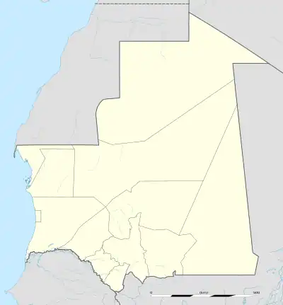 BGH Location of the airport in Mauritania | |||||||||||
| Runways | |||||||||||
| |||||||||||
Source: Google Maps[1] | |||||||||||
Abbaye Airport (IATA: BGH , ICAO: GQNE ) is an airport serving the town of Boghé in Mauritania.
See also
References
Sources
- OurAirports - Mauritania
- Great Circle Mapper - Abbaye
- Abbaye
- Google Earth
External links
This article is issued from Wikipedia. The text is licensed under Creative Commons - Attribution - Sharealike. Additional terms may apply for the media files.