Agate, Nebraska | |
|---|---|
 Agate, Nebraska  Agate, Nebraska | |
| Coordinates: 42°25′12″N 103°47′38″W / 42.42000°N 103.79389°W | |
| Country | United States |
| State | Nebraska |
| County | Sioux |
| Elevation | 4,439 ft (1,353 m) |
| Time zone | UTC−7 (Mountain (MST)) |
| • Summer (DST) | UTC−6 (MDT) |
| Area code | 308 |
| GNIS feature ID | 834977[1] |
Agate is in Sioux County, Nebraska, United States. Agate is located on Nebraska Highway 29, 19 miles (31 km) south-southeast of Harrison. It is home to Agate Fossil Beds National Monument.
History
A post office was established at Agate in 1899, and remained in operation until it was discontinued in 1968.[2] Agate was named for James H. Cook's Agate Springs Ranch, which was in turn named for the agate deposits in the area.[1][3]
Climate
According to the Köppen Climate Classification system, Agate has a cool semi-arid climate, abbreviated BSk on climate maps.
| Climate data for Agate, Nebraska (1991–2020 normals, extremes 1900–1907, 1964–present) | |||||||||||||
|---|---|---|---|---|---|---|---|---|---|---|---|---|---|
| Month | Jan | Feb | Mar | Apr | May | Jun | Jul | Aug | Sep | Oct | Nov | Dec | Year |
| Record high °F (°C) | 71 (22) |
72 (22) |
81 (27) |
90 (32) |
95 (35) |
106 (41) |
108 (42) |
103 (39) |
101 (38) |
90 (32) |
79 (26) |
72 (22) |
108 (42) |
| Mean daily maximum °F (°C) | 40.5 (4.7) |
42.7 (5.9) |
53.6 (12.0) |
61.3 (16.3) |
70.2 (21.2) |
81.2 (27.3) |
88.7 (31.5) |
87.5 (30.8) |
79.7 (26.5) |
65.0 (18.3) |
50.5 (10.3) |
40.4 (4.7) |
63.4 (17.4) |
| Daily mean °F (°C) | 25.7 (−3.5) |
27.8 (−2.3) |
37.5 (3.1) |
45.3 (7.4) |
54.6 (12.6) |
64.7 (18.2) |
71.2 (21.8) |
69.3 (20.7) |
60.3 (15.7) |
46.8 (8.2) |
34.2 (1.2) |
25.2 (−3.8) |
46.9 (8.3) |
| Mean daily minimum °F (°C) | 11.0 (−11.7) |
12.9 (−10.6) |
21.4 (−5.9) |
29.2 (−1.6) |
39.0 (3.9) |
48.2 (9.0) |
53.7 (12.1) |
51.1 (10.6) |
41.0 (5.0) |
28.5 (−1.9) |
18.0 (−7.8) |
9.9 (−12.3) |
30.3 (−0.9) |
| Record low °F (°C) | −34 (−37) |
−41 (−41) |
−27 (−33) |
−17 (−27) |
12 (−11) |
20 (−7) |
29 (−2) |
27 (−3) |
5 (−15) |
−14 (−26) |
−21 (−29) |
−44 (−42) |
−44 (−42) |
| Average precipitation inches (mm) | 0.22 (5.6) |
0.35 (8.9) |
0.64 (16) |
1.52 (39) |
2.89 (73) |
2.31 (59) |
2.21 (56) |
1.60 (41) |
1.29 (33) |
1.12 (28) |
0.44 (11) |
0.31 (7.9) |
14.90 (378) |
| Average snowfall inches (cm) | 4.1 (10) |
5.7 (14) |
5.6 (14) |
5.4 (14) |
1.6 (4.1) |
0.0 (0.0) |
0.0 (0.0) |
0.0 (0.0) |
0.3 (0.76) |
2.4 (6.1) |
4.3 (11) |
4.8 (12) |
34.2 (87) |
| Average precipitation days (≥ 0.01 in) | 3.9 | 4.4 | 5.1 | 7.2 | 10.8 | 9.4 | 8.0 | 7.0 | 6.1 | 6.1 | 3.8 | 3.4 | 75.2 |
| Average snowy days (≥ 0.1 in) | 3.1 | 3.8 | 3.2 | 2.3 | 0.6 | 0.0 | 0.0 | 0.0 | 0.1 | 1.1 | 2.4 | 3.4 | 20.0 |
| Source: NOAA[4][5] | |||||||||||||
References
- 1 2 3 U.S. Geological Survey Geographic Names Information System: Agate
- ↑ "Sioux County". Jim Forte Postal History. Retrieved August 23, 2014.
- ↑ Fitzpatrick, Lillian L. (1960). Nebraska Place-Names. University of Nebraska Press. p. 135. ISBN 0-8032-5060-6. A 1925 edition is available for download at University of Nebraska—Lincoln Digital Commons.
- ↑ "NOWData - NOAA Online Weather Data". National Oceanic and Atmospheric Administration. Retrieved December 9, 2023.
- ↑ "Summary of Monthly Normals 1991-2020". National Oceanic and Atmospheric Administration. Retrieved December 9, 2023.
Municipalities and communities of Sioux County, Nebraska, United States | ||
|---|---|---|
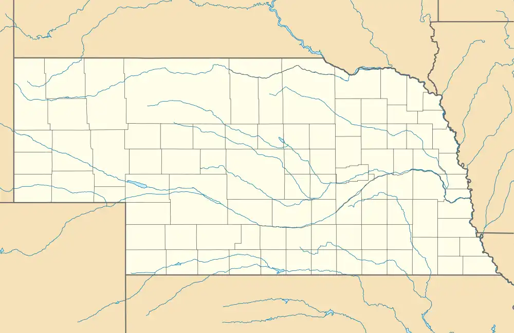
| Village | Map of Nebraska highlighting Sioux County | |
| Unincorporated communities | ||
This article is issued from Wikipedia. The text is licensed under Creative Commons - Attribution - Sharealike. Additional terms may apply for the media files.