Al-Mawasi | |
|---|---|
| Arabic transcription(s) | |
| • Arabic | المواصي |
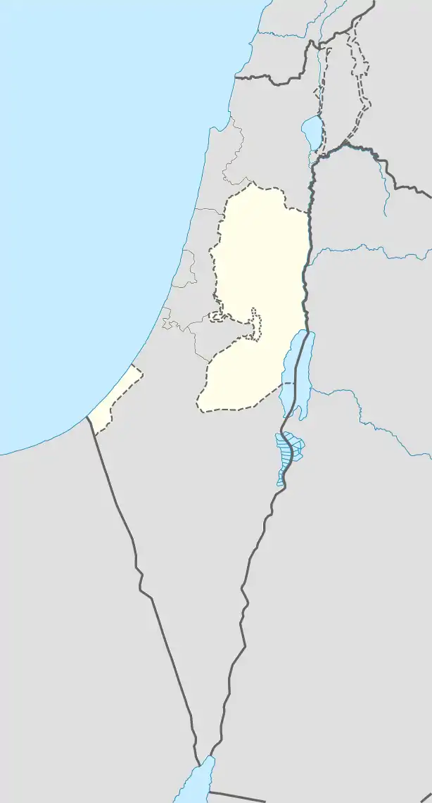 Al-Mawasi Location of Al-Mawasi within Palestine | |
| Coordinates: 31°19′44″N 34°13′48″E / 31.32889°N 34.23000°E | |
| State | State of Palestine |
| Governorate | Rafah |
| Government | |
| • Type | Village council |
| Population (2006) | |
| • Total | 1,400 |
Al-Mawasi (Arabic: المواصي) is a Palestinian Bedouin town on the southern coast of the Gaza Strip, approximately one kilometer wide and fourteen kilometers long, that prior to Israel's unilateral disengagement plan in 2005 existed as a Palestinian enclave within the Katif bloc of Israeli settlements. According to the Palestinian Central Bureau of Statistics, al-Mawasi had a population of 1,409 in mid-year 2006.
In December 2023, during the 2023 Israel–Hamas war, the Israel Defense Forces had designated Al-Mawasi as one of the only safe areas in the Gaza Strip.[1] Hundreds of thousands of people had fled there, and found only a barren strip of land with no basic resources such as food, water, or sanitation.[2]
References
- ↑ Stack, Liam; Bayoumy, Lara (6 December 2023). "Gazans Find Scant Aid at Village Where They Were Advised to Relocate". The New York Times.
- ↑ Zhou, Li (2023-12-06). "An "apocalyptic" humanitarian situation in Gaza is only getting worse". Vox. Retrieved 2023-12-07.
External links
- UNICEF Brings Critical Supplies to the Isolated Children of Al-Mawasi
- Al-Mawasi, Gaza Strip: Impossible Life in an Isolated Enclave B'Tselem publication
This article is issued from Wikipedia. The text is licensed under Creative Commons - Attribution - Sharealike. Additional terms may apply for the media files.