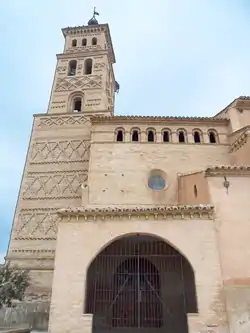
Alcubierre | |
|---|---|
 | |
 Flag  Seal | |
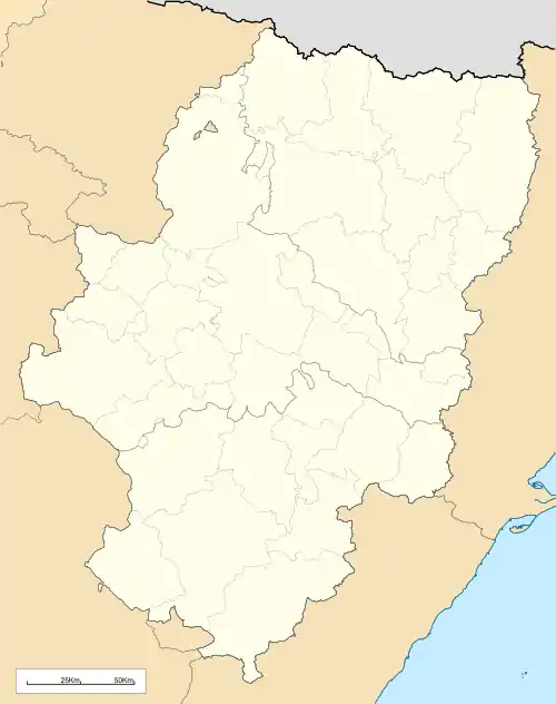 Alcubierre Location within Aragon  Alcubierre Location within Spain | |
| Coordinates: 41°48′N 0°27′W / 41.800°N 0.450°W | |
| Country | |
| Autonomous community | |
| Province | Huesca |
| Comarca | Los Monegros |
| Government | |
| • Mayor | Álvaro Isidro Amador Lacambra (PSOE-Aragón) |
| Area | |
| • Total | 115 km2 (44 sq mi) |
| Elevation | 466 m (1,529 ft) |
| Population (2018)[1] | |
| • Total | 363 |
| • Density | 3.2/km2 (8.2/sq mi) |
| Time zone | UTC+1 (CET) |
| • Summer (DST) | UTC+2 (CEST) |
Alcubierre is a municipality located in the province of Huesca, Aragon, Spain. According to the 2004 census (INE), the municipality has a population of 439 inhabitants.
This town gives its name to the Sierra de Alcubierre (highest point 822 m) that rises in the west, about 3 km away.
References
- ↑ Municipal Register of Spain 2018. National Statistics Institute.
External links and further reading
41°48′N 0°27′W / 41.800°N 0.450°W
This article is issued from Wikipedia. The text is licensed under Creative Commons - Attribution - Sharealike. Additional terms may apply for the media files.