Aljezur | |
|---|---|
 Coat of arms | |
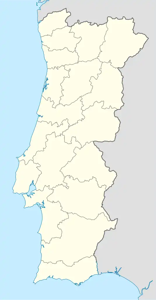 Aljezur Location in Portugal | |
| Coordinates: 37°18′58″N 8°48′14″W / 37.316°N 8.804°W | |
| Country | |
| Region | Algarve |
| Intermunic. comm. | Algarve |
| District | Faro |
| Municipality | Aljezur |
| Area | |
| • Total | 166.76 km2 (64.39 sq mi) |
| Population (2011) | |
| • Total | 3,365 |
| • Density | 20/km2 (52/sq mi) |
| Time zone | UTC±00:00 (WET) |
| • Summer (DST) | UTC+01:00 (WEST) |
| Postal code | 8670 |
| Website | Page on CM Aljezur website |
Aljezur is a parish (freguesia) in the municipality of Aljezur in Portugal. The population in 2011 was 3,365,[1] in an area of 166.76 km².[2]
The area consists of Vale da Telha, Arrifana, Espartal, Vales, and Picao de Baixo
Archaeological sites confirm man's presence in the area since prehistoric times, most notably for a period around 4,000 BC and during the Bronze Age. The name Aljezur comes from Aljuzur, the Arabic meaning of Islands. Overlooking the town is a ruin of a Moorish fortress. A visit on the hill and learning about the function and history of this historic monument can be combined with a visit to one of the local museums.

The fire station
See also
References
- ↑ Instituto Nacional de Estatística
- ↑ "Áreas das freguesias, concelhos, distritos e país". Archived from the original on 2018-11-05. Retrieved 2018-11-05.
This article is issued from Wikipedia. The text is licensed under Creative Commons - Attribution - Sharealike. Additional terms may apply for the media files.