Ambalavolo | |
|---|---|
 Ambalavolo Location in Madagascar | |
| Coordinates: 19°30′16″S 48°48′00″E / 19.50444°S 48.80000°E | |
| Country | |
| Region | Atsinanana |
| District | Vatomandry (district) |
| Elevation | 27 m (89 ft) |
| Population (2019) | |
| • Total | 10,204 |
| Time zone | UTC3 (EAT) |
| postal code | 517 |
Ambalavolo is a rural commune located in the Atsinanana region of eastern Madagascar, and belongs to the Vatomandry (district).[1]
The economy is based on agriculture, including coffee and cacao but also rice, mais and manioc are grown.
References
- ↑ "LES SOLS DE LA STATION AGRONOMIQUE D' ILAKA" (PDF). Horizon.documentation.ird.fr. Retrieved 9 March 2022.
Capital: Toamasina | ||
| Antanambao Manampotsy - 507 | 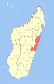 | |
| Mahanoro - 510 | ||
| Marolambo - 513 | ||
| Toamasina I - 501 | ||
| Toamasina II - 502 | ||
| Vatomandry - 517 | ||
| Vohabinany (Brickaville) - 508 | ||
7 districts; 75 communes | ||
This article is issued from Wikipedia. The text is licensed under Creative Commons - Attribution - Sharealike. Additional terms may apply for the media files.