Ambatofitorahana | |
|---|---|
 Ambatofitorahana Location in Madagascar | |
| Coordinates: 20°49′S 47°11′E / 20.817°S 47.183°E | |
| Country | |
| Region | Amoron'i Mania |
| District | Ambositra |
| Elevation | 1,657 m (5,436 ft) |
| Population (2001)[2] | |
| • Total | 7,000 |
| Time zone | UTC3 (EAT) |
Ambatofitorahana is a town and commune in Madagascar. It belongs to the district of Ambositra, which is a part of Amoron'i Mania Region. The population of the commune was estimated to be approximately 7,000 in 2001 commune census.[2]
Primary and junior level secondary education are available in town. The majority 95% of the population of the commune are farmers. The most important crop is rice, while other important products are beans, maize and oranges. Industry and services provide employment for 2% and 3% of the population, respectively.[2]
References and notes
- ↑ Estimated based on DEM data from Shuttle Radar Topography Mission
- 1 2 3 "ILO census data". Cornell University. 2002. Retrieved 2008-05-13.
Capital: Ambositra | ||
| Ambatofinandrahana (9) - 304 | 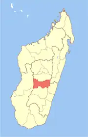 | |
| Ambositra (21) - 306 |
| |
| Fandriana (13) - 308 | ||
| Manandriana (10) - 323 | ||
4 districts; 53 communes | ||
20°49′S 47°11′E / 20.817°S 47.183°E
This article is issued from Wikipedia. The text is licensed under Creative Commons - Attribution - Sharealike. Additional terms may apply for the media files.