| Amelia Earhart Peak | |
|---|---|
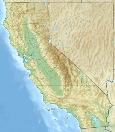 Amelia Earhart Peak Location in California  Amelia Earhart Peak Amelia Earhart Peak (the United States) | |
| Highest point | |
| Elevation | 11,978 ft (3,651 m) NAVD 88[1] |
| Parent peak | Simmons Peak[2] |
| Coordinates | 37°47′11″N 119°17′18″W / 37.7863930°N 119.2882249°W[1] |
| Geography | |
| Location | Tuolumne County, California, U.S. |
| Parent range | Sierra Nevada |
| Topo map | USGS Vogelsang Peak |
Amelia Earhart Peak is a summit in Tuolumne County, California, in the United States.[1] With an elevation of 11,978 feet (3,651 m),[1] Amelia Earhart Peak is the 304th highest summit in the state of California.[3]
The summit was named in the 1960s for aviator Amelia Earhart.[4]
References
- 1 2 3 4 "Amelia Earhart Peak". Geographic Names Information System. United States Geological Survey, United States Department of the Interior. Retrieved 8 October 2017.
- ↑ "Amelia Earhart Peak, California". Peakbagger.com. Retrieved 8 October 2017.
- ↑ "Amelia Earhart Peak". Peakery.com. Retrieved 12 February 2015.
- ↑ Browning, Peter (2005). Yosemite Place Names: The Historic Background of Geographic Names in Yosemite National Park. Great West Books. p. 4. ISBN 978-0-944220-19-1. Retrieved 8 October 2017.
This article is issued from Wikipedia. The text is licensed under Creative Commons - Attribution - Sharealike. Additional terms may apply for the media files.