Angern | |
|---|---|
 Coat of arms | |
Location of Angern within Börde district  | |
 Angern 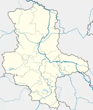 Angern | |
| Coordinates: 52°21′23″N 11°44′8″E / 52.35639°N 11.73556°E | |
| Country | Germany |
| State | Saxony-Anhalt |
| District | Börde |
| Municipal assoc. | Elbe-Heide |
| Government | |
| • Mayor (2019–26) | Egbert Fitsch[1] |
| Area | |
| • Total | 64.21 km2 (24.79 sq mi) |
| Elevation | 43 m (141 ft) |
| Population (2021-12-31)[2] | |
| • Total | 1,960 |
| • Density | 31/km2 (79/sq mi) |
| Time zone | UTC+01:00 (CET) |
| • Summer (DST) | UTC+02:00 (CEST) |
| Postal codes | 39326, 39517 |
| Dialling codes | 039363, 039366, 03935 |
| Vehicle registration | BK |
| Website | www |
Angern is a municipality in the Börde district in Saxony-Anhalt, Germany. On 1 January 2010 it absorbed the former municipalities Bertingen, Mahlwinkel and Wenddorf.[3] The municipality consists of the Ortsteile (municipal divisions) Angern, Bertingen, Mahlwinkel, Wenddorf and Zibberick.

Palace Angern around 1860, Edition by Alexander Duncker
References
- ↑ Bürgermeisterwahlen in den Gemeinden, Endgültige Ergebnisse, Statistisches Landesamt Sachsen-Anhalt, accessed 8 July 2021.
- ↑ "Bevölkerung der Gemeinden – Stand: 31. Dezember 2021" (PDF) (in German). Statistisches Landesamt Sachsen-Anhalt. June 2022.
- ↑ Gebietsänderungen vom 01. Januar bis 31. Dezember 2010, Statistisches Bundesamt
Towns and municipalities in the district of Börde | ||
|---|---|---|
| Coat of arms | |
This article is issued from Wikipedia. The text is licensed under Creative Commons - Attribution - Sharealike. Additional terms may apply for the media files.